Le Canon

Log in to your account

AroundUs is a community-driven map of interesting places, built by curious explorers like you. It grows with every review, story, and photo you share.
Connect to save your favorite spots, contribute locations, and create personalized routes.
By continuing, you accept our Terms and Conditions and our Privacy Policy
Add to collection
Map
Suggest a change
Share

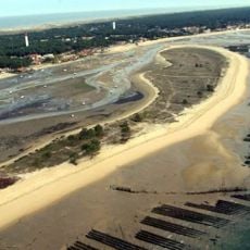
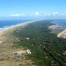
Le Canon, Coastal neighborhood in Lège-Cap-Ferret, France

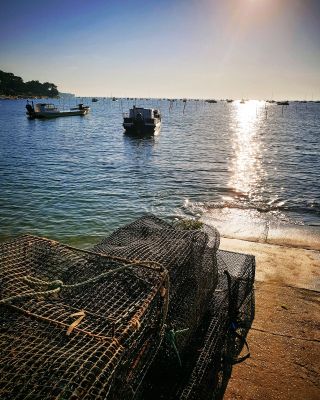
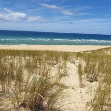
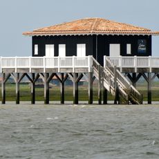
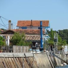
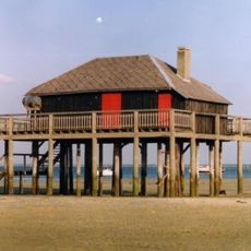
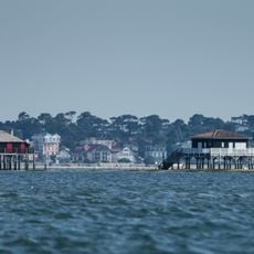
Le Canon is a coastal neighborhood in Lège-Cap-Ferret along Arcachon Basin, where wooden huts line the waterfront and oyster farmers and fishermen work daily. The area runs along the water's edge with small jetties and offers direct access to the sea and the region's local economy.

The neighborhood's name comes from a large cast iron cannon from maritime conflicts, now displayed in the Villa Algérienne garden. This historical cannon marks the area's military past and its link to the region's maritime history.

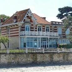
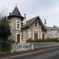
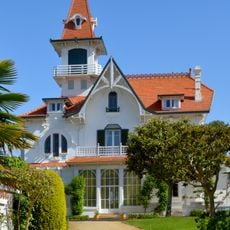
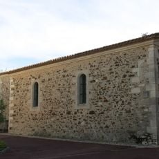
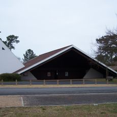
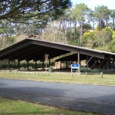
The main street, Rue Sainte Catherine, displays traditional fishermen houses and oyster farming structures that reflect the local maritime heritage. These buildings shape the character of the place and tell of generations connected to the sea.

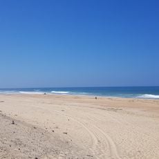
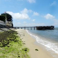
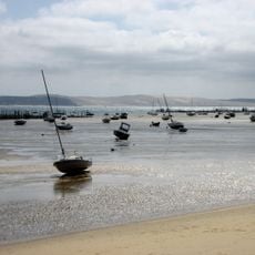
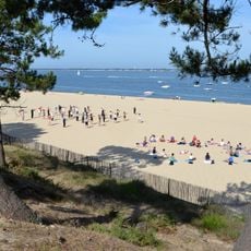
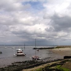
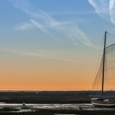
A jetty provides access to boat services across the basin, while a small beach remains accessible regardless of tide conditions. The area is easy to explore on foot and offers straightforward access to local attractions and the water.

The neighborhood contains an artesian well reaching over 120 meters deep that supplies fresh water to the community. This underground water source reflects the importance of natural resources in the area's development.

Location: Lège-Cap-Ferret

Address: Le Canon, 33950 Lège-Cap-Ferret, France

GPS coordinates: 44.70050,-1.23068

Latest update: December 6, 2025 19:10

Photography around Bassin d'Arcachon: beaches, oyster villages, Dune du Pilat

The Bassin d'Arcachon covers 155 square kilometers along the French Atlantic coast and offers numerous subjects for photography. The Dune du Pilat rises 110 meters above sea level and forms the tallest sand dune in Europe. Oyster farming villages such as Gujan-Mestras, L'Herbe, and Le Canon display wooden huts on stilts distributed along the shores. The Cap Ferret peninsula separates the basin from the Atlantic and presents long sandy beaches on both sides. The Cap Ferret lighthouse from 1947 reaches a height of 53 meters. The Île aux Oiseaux sits in the center of the basin and hosts two traditional stilt cabins, the Cabanes Tchanquées, which are surrounded by water at high tide. The town of Arcachon displays 19th-century villas in the Ville d'Hiver, a district with over 300 buildings in Belle Époque style. The Domaine de Certes et Graveyron nature reserve includes former salt marshes and fish ponds now inhabited by herons, spoonbills, and other water birds. The beaches of Pereire and Pyla-sur-Mer provide direct views of the basin and nearby pine forests.

Reviews

Visited this place? Tap the stars to rate it and share your experience / photos with the community! Try now! You can cancel it anytime.

« Le Canon - Coastal neighborhood in Lège-Cap-Ferret, France » is provided by Around Us (aroundus.com). Images and texts are derived from Wikimedia project under a Creative Commons license. You are allowed to copy, distribute, and modify copies of this page, under the conditions set by the license, as long as this note is clearly visible.

Discover hidden gems everywhere you go!

From secret cafés to breathtaking viewpoints, skip the crowded tourist spots and find places that match your style. Our app makes it easy with voice search, smart filtering, route optimization, and insider tips from travelers worldwide. Download now for the complete mobile experience.

Around Us App Screenshot

A unique approach to discovering new places

Le Figaro

All the places worth exploring

France Info

A tailor-made excursion in just a few clicks

20 Minutes