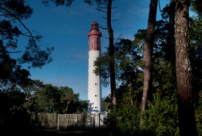
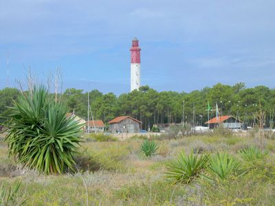
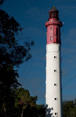
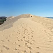
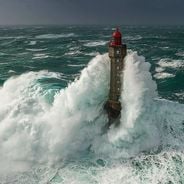
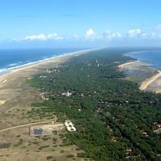
Cap-Ferret lighthouse, Maritime navigation lighthouse in Lège-Cap-Ferret, France
Cap-Ferret lighthouse is a maritime navigation structure in Lège-Cap-Ferret on the French Atlantic coast. It sends out a red light signal every five seconds that reaches up to 50 kilometers away, helping ships find their way through the waters.
The original structure dated to the 19th century but was destroyed during World War II when German forces withdrew from the area. The building we see today was rebuilt in the 1940s as a replacement for the earlier version.
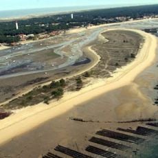
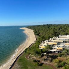
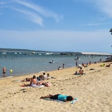
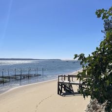
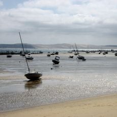
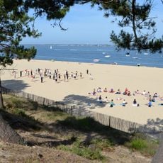
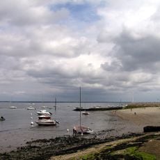
The lighthouse has always served as a key landmark for fishermen and ships passing through the bay. Local people connect this structure to the long tradition of seafaring and coastal navigation in the region.
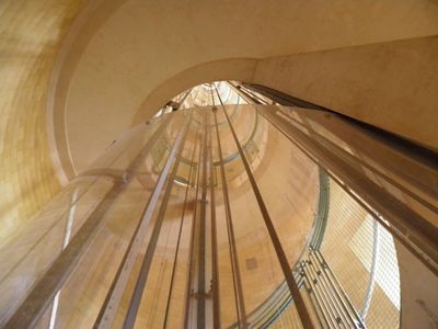
Reaching the observation platform requires climbing multiple flights of stairs, which demands some stamina and patience. Visitors should wear sturdy footwear and take care as the steps are narrow and steep.
The interior displays art deco elements from its reconstruction period, including a painted map of the bay and ornamental metalwork. These details remain visible today and give the building a distinctive visual character.
Location: Lège-Cap-Ferret
Inception: 1840
Height: 57 m
Phone: +33557703330
Website: https://phareducapferret.com
GPS coordinates: 44.64596,-1.24881
Latest update: December 6, 2025 17:41
The Bassin d'Arcachon covers 155 square kilometers along the French Atlantic coast and offers numerous subjects for photography. The Dune du Pilat rises 110 meters above sea level and forms the tallest sand dune in Europe. Oyster farming villages such as Gujan-Mestras, L'Herbe, and Le Canon display wooden huts on stilts distributed along the shores. The Cap Ferret peninsula separates the basin from the Atlantic and presents long sandy beaches on both sides. The Cap Ferret lighthouse from 1947 reaches a height of 53 meters. The Île aux Oiseaux sits in the center of the basin and hosts two traditional stilt cabins, the Cabanes Tchanquées, which are surrounded by water at high tide. The town of Arcachon displays 19th-century villas in the Ville d'Hiver, a district with over 300 buildings in Belle Époque style. The Domaine de Certes et Graveyron nature reserve includes former salt marshes and fish ponds now inhabited by herons, spoonbills, and other water birds. The beaches of Pereire and Pyla-sur-Mer provide direct views of the basin and nearby pine forests.
French lighthouses line approximately 3,400 miles (5,500 km) of coast, from the English Channel to the Mediterranean Sea. These maritime structures, built between the 17th and 20th centuries, occupy strategic locations on rocky promontories, islands, and sometimes in open sea. Constructed from granite, limestone, or masonry, they reflect changes in building techniques and the emphasis on maritime safety. Among the most notable are the Cordouan lighthouse, located offshore of the Gironde estuary and listed as a UNESCO World Heritage site, and the Vierge island in Brittany, which, at 272 feet (82.5 meters), is the tallest stone tower in Europe. The Jument and Vieille lighthouses, situated off Ouessant and Raz de Sein, demonstrate the technical challenges of building at sea, while those at Cap Ferret, Calais, and Ploumanac'h serve as coastal landmarks for over a century. Most of these installations remain operational, and several are open to visitors, offering insights into their interior architecture and the living conditions of their keepers.
Chapelle de la Villa Algérienne
4.6 km
Église Notre-Dame-des-Passes d'Arcachon
4 km
Mimbeau beach
456 m
Basilique Notre-Dame d'Arcachon
5.6 km
Église Notre-Dame des Flots du Cap-Ferret
1.1 km
Tramway du Cap-Ferret
1.4 km
Plage de l'Horizon
1.3 km
Blockhaus du phare du Cap Ferret
30 m
Plage des Arbousiers
3.8 km
Plage des Américains
1.8 km
Pointe du Cap Ferret
2.6 km
Plage de la Torchère
4.6 km
Plage de la Vigne
3.5 km
Villa Plaisance
5.8 km
Plage de la Pointe aux Chevaux
2.7 km
Église Saint-Louis des Abatilles
5.2 km
Scenic viewpoint
1.5 km
Pereire Beach
4.5 km
Chapelle des marins
5.6 km
Plage de la Corniche
5.8 km
La Corniche
5.8 km
Plage des Abatilles
4.2 km
Croix des marins
5.7 km
Croix des Marins
2.5 km
Plage des Américains
1.9 km
Manège du Moulleau
3.7 km
Bunker Vault d'Arthur
1.1 km
Cap Carmmel
801 mReviews
Visited this place? Tap the stars to rate it and share your experience / photos with the community! Try now! You can cancel it anytime.
Discover hidden gems everywhere you go!
From secret cafés to breathtaking viewpoints, skip the crowded tourist spots and find places that match your style. Our app makes it easy with voice search, smart filtering, route optimization, and insider tips from travelers worldwide. Download now for the complete mobile experience.
A unique approach to discovering new places❞
— Le Figaro
All the places worth exploring❞
— France Info
A tailor-made excursion in just a few clicks❞
— 20 Minutes