多廟徑
Location: 九龍城區 Kowloon City District
GPS coordinates: 22.31206,114.18444
Latest update: November 20, 2025 03:42
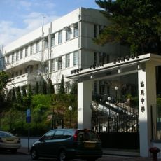
Heep Yunn School
1 km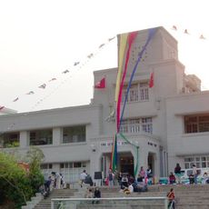
King George V School
1.1 km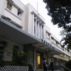
Tang King Po School
908 m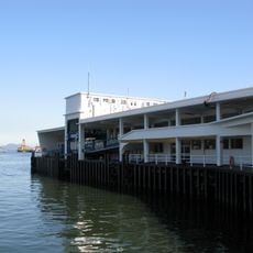
Kowloon City Ferry Pier
1.2 km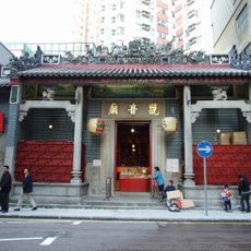
Kwun Yum Temple, Hung Hom
468 m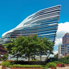
Jockey Club Innovation Tower
911 m
南區左岸
601 m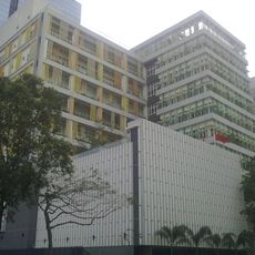
Kowloon City Government Offices
546 m
18 Farm Road
1 km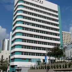
Kowloon Public Library
1.1 km
Hutchison Park
820 m
To Kwa Wan Sports Centre
956 m
Carmel On The Hill
566 m
Baker Residences
601 m
Ho Man Tin Government Offices
549 m
Tai Wan Shan Park
1.1 km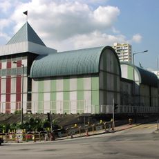
Hong Kong Housing Authority Exhibition Centre
535 m
Chung Yee Street Garden
370 m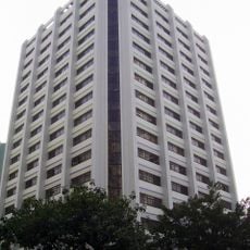
Civil Engineering and Development Building
767 m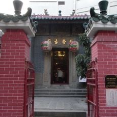
Pak Tai Temple
310 m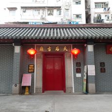
Tin Hau Temple, To Kwa Wan
738 m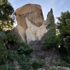
Fishtail Rock
847 m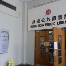
Hung Hom Public Library
612 m
Guilford Lecture Theater
1 km
Jockey Club Auditorium
900 m
Work of art, sculpture
334 m
東炮台遺址 Former East Battery Site
813 m
Hong Kong and Whampoa Dock
1.1 kmReviews
Visited this place? Tap the stars to rate it and share your experience / photos with the community! Try now! You can cancel it anytime.
Discover hidden gems everywhere you go!
From secret cafés to breathtaking viewpoints, skip the crowded tourist spots and find places that match your style. Our app makes it easy with voice search, smart filtering, route optimization, and insider tips from travelers worldwide. Download now for the complete mobile experience.

A unique approach to discovering new places❞
— Le Figaro
All the places worth exploring❞
— France Info
A tailor-made excursion in just a few clicks❞
— 20 Minutes