
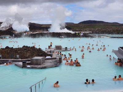
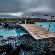
Blue Lagoon, Geothermal spa in Grindavik, Iceland
The lagoon contains mineral-rich water at 38°C, surrounded by black lava fields and white silica formations extending across 8700 square meters.
The lagoon formed in 1976 during operation of the Svartsengi geothermal power plant, with public bathing facilities opening in 1987.
The water's natural elements, including silica and sulfur, led to the development of research facilities and treatments for skin conditions.
The facility maintains different seasonal schedules, operating from 7:00 to midnight during summer and shorter hours during winter months.
The water receives its blue color from silica reflecting sunlight, while specific algae and bacteria species thrive in these geothermal conditions.
Location: Grindavíkurbær
Accessibility: Accesible en silla de ruedas
Address: Norðurljósavegur 9, 240 Grindavík, Iceland 240 Grindavík
Opening Hours: enero 01-mayo 25: Lunes-Domingo 08:00-22:00; mayo 26-junio 29: Lunes-Domingo 07:00-23:00; junio 30-agosto 20: Lunes-Domingo 07:00-24:00; agosto 21-octubre 01: Lunes-Domingo 08:00-22:00; octubre 02-diciembre 31: Lunes-Domingo 08:00-21:00
Phone: +3544208800
Website: https://bluelagoon.com/is
GPS coordinates: 63.87963,-22.44813
Latest update: March 4, 2025 10:20
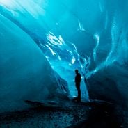
Iceland is an island shaped by ice and fire. Glaciers cover much of the interior while geothermal areas show that something is always happening beneath the surface. The landscapes here look different from most places: black sand beaches formed by volcanic activity, fjords cutting deep into the coast, waterfalls dropping over cliffs and canyons with moss covered walls. Vatnajökull in the southeast is Europe's largest glacier, while smaller ice caps like Snæfellsjökull or Drangajökull have their own character. Reykjavik sits by the ocean and mixes city life with access to nature. The Harpa concert hall stands by the harbor, Hallgrímskirkja church rises above the rooftops, and along the shore you find the Sólfar sculpture. Lake Tjörnin lies in the center of town. Outside the city, routes lead to natural sites: the Blue Lagoon with its milky blue water, Strokkur geyser that erupts every few minutes, Gullfoss waterfall where a river plunges into a canyon. The southern coast shows different faces. Near Vík there is Reynisfjara beach with its basalt columns and black sand, and not far away the cliff at Dyrhólaey. Diamond Beach near Hornafjörður is scattered with ice chunks washed up by the sea. In the north, Lake Mývatn attracts visitors with its volcanic surroundings, while the Westfjords with the Hornstrandir reserve and the red sand of Rauðasandur beach belong to the more remote parts of the country. The Ring Road connects most of these places and circles the entire island.
Blue Lagoon
137 m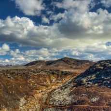
Krýsuvík
34.6 km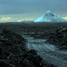
Keilir
15.1 km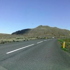
Þorbjörn
1.7 km
Viking World museum
11.4 km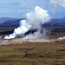
Gunnuhver
13.4 km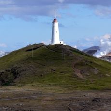
Reykjanesviti
14.5 km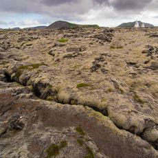
Svartsengi
219 m
Uppspretta
14.6 km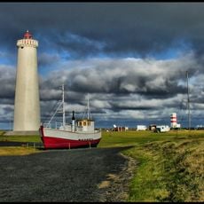
Garðskagaviti Lighthouse
25.6 km
Reykjanes
6.7 km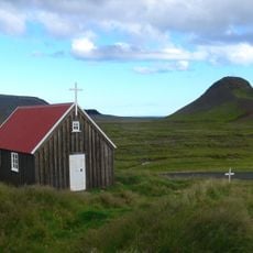
Krýsuvíkurkirkja
19 km
Trölladyngja
18.5 km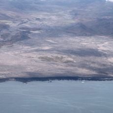
Ögmundarhraun
14 km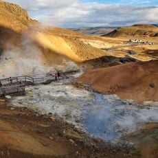
Seltún Hot Springs
19.3 km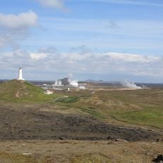
Phare de Reykjanestá
15.1 km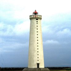
Garðskagaviti
25.4 km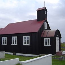
Kirkjuvogskirkja
13.2 km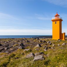
Stafnesviti
18 km
Sandgerði lighthouse
22.1 km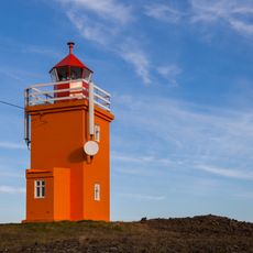
Hopsnes lighthouse
6.3 km
Holmbergs lighthouse
17.6 km
Phare de Hafnarfjörður
31.2 km
Vatnsnes Lighthouse
14.4 km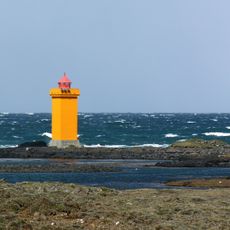
Gerðistangarviti
15.5 km
Sandvík (luuk sa Islandya, Suðurnes)
14 km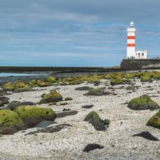
Old Garðskagaviti lighthouse
25.6 km
Bridge between continents
11.2 kmReviews
Visited this place? Tap the stars to rate it and share your experience / photos with the community! Try now! You can cancel it anytime.
Discover hidden gems everywhere you go!
From secret cafés to breathtaking viewpoints, skip the crowded tourist spots and find places that match your style. Our app makes it easy with voice search, smart filtering, route optimization, and insider tips from travelers worldwide. Download now for the complete mobile experience.

A unique approach to discovering new places❞
— Le Figaro
All the places worth exploring❞
— France Info
A tailor-made excursion in just a few clicks❞
— 20 Minutes