
Humphreys Peak B-24 Bomber Crash Site
Humphreys Peak B-24 Bomber Crash Site
Location: Coconino County
GPS coordinates: 35.34093,-111.69024
Latest update: November 24, 2025 07:06
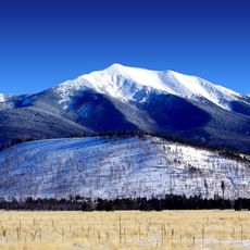
Humphreys Peak
1.3 km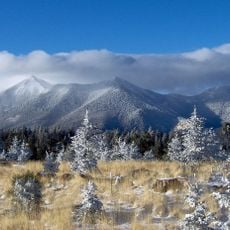
San Francisco Peaks
3.3 km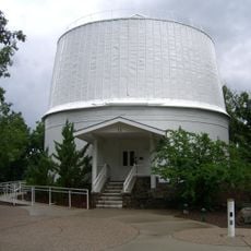
Lowell Observatory
15.6 km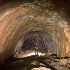
Lava River Cave
13.2 km
Museum of Northern Arizona
12.1 km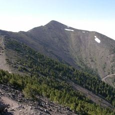
Agassiz Peak
2 km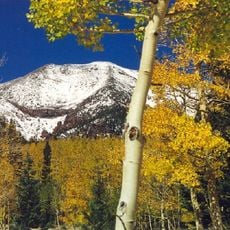
Kachina Peaks Wilderness
2.6 km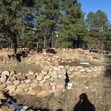
Elden Pueblo
15.5 km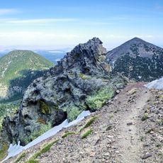
Fremont Peak
3.3 km
Doyle Peak
4.2 km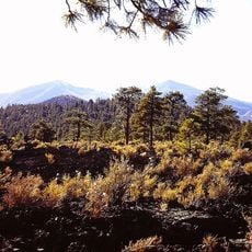
Lenox Crater
14.7 km
Robotic Lunar Observatory
14.9 km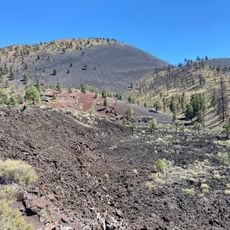
Lava Flow Trail
15.8 km
D. M. Francis House
14 km
Pioneer Museum--Arizona Historical Society
13.4 km
Nate Avery Loop Trail
14.6 km
Percival Lowell Mausoleum
15.6 km
Sunset Crater Volcano Visitor Center
13.7 km
JPL SynTrack Robotic Telescope 3
15.5 km
San Francisco Peaks Natural Area
1.4 km
Steele Visitor Center
15.6 km
Work of art, sculpture
15.7 km
Scenic viewpoint
12.7 km
Scenic viewpoint
11.2 km
Scenic viewpoint
15.4 km
Scenic viewpoint
10.8 km
Scenic viewpoint
10.3 km
Bonita Vista
15.6 kmReviews
Visited this place? Tap the stars to rate it and share your experience / photos with the community! Try now! You can cancel it anytime.
Discover hidden gems everywhere you go!
From secret cafés to breathtaking viewpoints, skip the crowded tourist spots and find places that match your style. Our app makes it easy with voice search, smart filtering, route optimization, and insider tips from travelers worldwide. Download now for the complete mobile experience.

A unique approach to discovering new places❞
— Le Figaro
All the places worth exploring❞
— France Info
A tailor-made excursion in just a few clicks❞
— 20 Minutes