Hell's Backbone Bridge
Location: Garfield County
GPS coordinates: 37.97075,-111.59927
Latest update: October 12, 2024 08:27

Dixie National Forest
18.3 km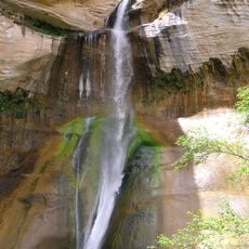
Calf Creek Falls
22.2 km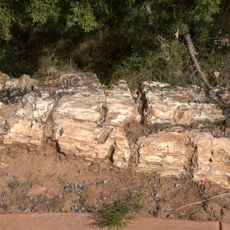
Escalante Petrified Forest State Park
20 km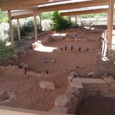
Anasazi State Park Museum
16.9 km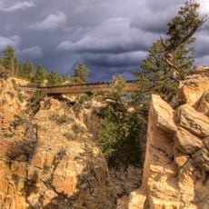
Hell's Backbone Road
24 m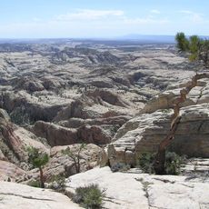
Box-Death Hollow Wilderness
9.3 km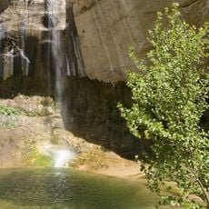
Upper Calf Creek Falls
19.4 km
Lower Calf Creek Falls
22.3 km
Schoolhouse Ledge
16.5 km
Big Swale Reservoir Number 2
16.3 km
Corner Reservoir
17.3 km
Wide Hollow Reservoir
20.7 km
Spectacle Lake
14.7 km
Ormand Point
13.7 km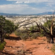
McGath Point Bench
18 km
Oak Creek Reservoir
22.7 km
Scenic viewpoint
16 km
Upper Calf Creek Fall
18.3 km
The Hogback
21.4 km
Scenic viewpoint
21.6 km
Mamie Creek Natural Bridge
18.1 km
Waterfall
22.3 km
Trail Pointvwqtr
14.9 km
Lower Calf Creek Fall
22.3 km
Calf Creek Viewpoint
22.5 km
Scenic viewpoint
47 m
Escalante Overlook
23.3 km
Old Cabin
24.1 kmReviews
Visited this place? Tap the stars to rate it and share your experience / photos with the community! Try now! You can cancel it anytime.
Discover hidden gems everywhere you go!
From secret cafés to breathtaking viewpoints, skip the crowded tourist spots and find places that match your style. Our app makes it easy with voice search, smart filtering, route optimization, and insider tips from travelers worldwide. Download now for the complete mobile experience.

A unique approach to discovering new places❞
— Le Figaro
All the places worth exploring❞
— France Info
A tailor-made excursion in just a few clicks❞
— 20 Minutes