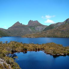
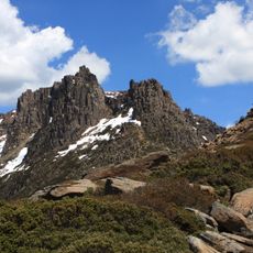
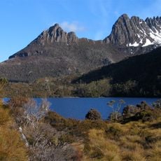
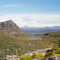
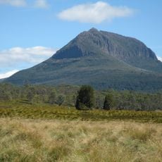
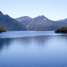
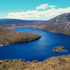
Lake St Clair, locality in Meander Valley, Tasmania, Australia
Location: Meander Valley Council
Location: Tasmania
Shares border with: West Coast, Cradle Mountain, Mersey Forest, Walls Of Jerusalem, Southwest, Derwent Bridge
GPS coordinates: -41.96994,145.95130
Latest update: March 8, 2025 18:57
Cradle Mountain
31.8 km
Mount Ossa
13 km
Cradle-Mountain-Lake-St.-Clair-Nationalpark
11.5 km
Walls of Jerusalem National Park
35.1 km
Frenchmans Cap
34.8 km
Mount Pelion West
15.5 km
Lake Burbury
28.6 km
Nelson Falls
22.9 km
Mount Pelion East
15.8 km
The Acropolis
9.9 km
Cathedral Mountain
16 km
Galley Museum
34.8 km
Horsetail Falls
32.3 km
Artillery Knob
33.3 km
Spion Kopf Lookout
34.6 km
Mount Pitt
31.8 km
Butlers Beach
34.3 km
St Josephs Catholic Church and Presbytery
34.6 km
Road near Queenstown, Tasmania
33.5 km
Drainage adit
32.6 km
37 Orr Street
34.8 km
Railway Express General Store, Queenstown,Tasmania
34.9 km
Gormanston, Tasmania
31.9 km
Mount Murchison Regional Reserve
33.3 km
Lyell District Memorial Hall
34.8 km
Queenstown Library
34.8 km
West Coast Road monument
32.3 km
Iron Blow Lookout
31.9 kmReviews
Visited this place? Tap the stars to rate it and share your experience / photos with the community! Try now! You can cancel it anytime.
Discover hidden gems everywhere you go!
From secret cafés to breathtaking viewpoints, skip the crowded tourist spots and find places that match your style. Our app makes it easy with voice search, smart filtering, route optimization, and insider tips from travelers worldwide. Download now for the complete mobile experience.
A unique approach to discovering new places❞
— Le Figaro
All the places worth exploring❞
— France Info
A tailor-made excursion in just a few clicks❞
— 20 Minutes