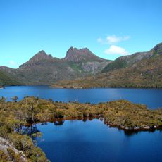
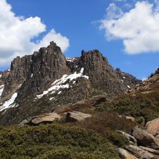
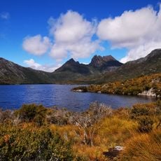
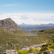
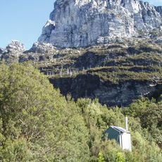
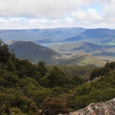
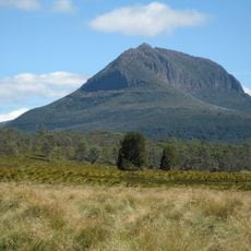
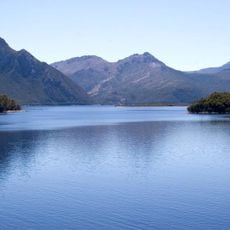
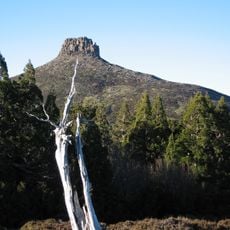
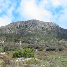
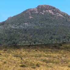
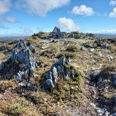
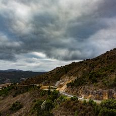
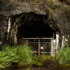
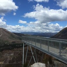
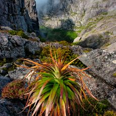
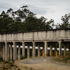
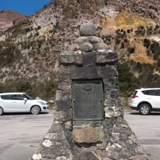
The Acropolis, Mountain summit in Cradle Mountain-Lake St Clair National Park, Tasmania, Australia.
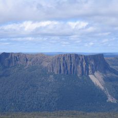
The Acropolis is a mountain of 1,481 m in the Du Cane Range, inside Cradle Mountain-Lake St Clair National Park in Tasmania's Central Highlands. It stands near Mount Geryon and the Massif, about 10 km north of Lake St Clair and roughly 6 km south-east of Mount Ossa, the state's highest point. The Narcissus River rises just north of the mountain and flows into Lake St Clair.
The Acropolis is a 1,481-metre mountain of the Du Cane Range, in the Central Highlands of Tasmania, within Cradle Mountain-Lake St Clair National Park, part of the Tasmanian Wilderness UNESCO World Heritage site. Its name comes from the Greek word for a high city or citadel. It stands near Mount Geryon and the Massif, about 10 km north of Lake St Clair and 6 km south-east of Mount Ossa, Tasmania's highest point at 1,617 m.
The name Acropolis comes from the Greek for a high city or citadel, a term given to the peak by English-speaking surveyors and walkers rather than by local Aboriginal people. The mountain lies in the Du Cane Range, and the Overland Track, a roughly 70 km multi-day walk between Lake St Clair and Cradle Mountain, runs along its eastern side.
The climb requires solid hiking experience and technical rock scrambling skills, with most people spending two days on the route. Come equipped with sturdy boots and weather-resistant gear, as conditions can change rapidly at higher elevations.
The Acropolis lies about 6 km southeast of Mount Ossa, Tasmania's highest peak at 1,617 m, and just south of the source of the Narcissus River, which flows into Lake St Clair. The Overland Track, a roughly 70 km multi-day walk, runs along its eastern side.
The community of curious travelers
AroundUs brings together thousands of curated places, local tips, and hidden gems, enriched daily by 94,362 contributors worldwide.