Cathedral Mountain, Mountain summit in Yoho National Park, Canada.
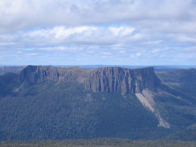
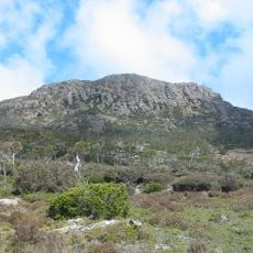
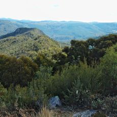
Cathedral Mountain is a summit in the Canadian Rocky Mountains located in British Columbia, rising to approximately 3,190 meters with dramatic vertical rock faces. The peak displays a distinctive massif formation that creates its characteristic angular profile when viewed from the valley below.
The first ascent took place in 1901 when James Outram completed the climb with guides Joseph Bossoney and Christian Klucker navigating demanding terrain. This early mountaineering achievement marked an important milestone in the exploration of the Canadian Rockies.
The mountain earned its name from its resemblance to a gothic cathedral, which inspired painter Arthur Lismer to create a notable artwork in 1928.
Climbers approach this summit via the Lake O'Hara Road, first crossing Cataract Brook before entering forested slopes that lead upward. Reaching the higher terrain requires scrambling skills and experience with glacier conditions.
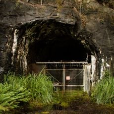
A railway line operated by Canadian Pacific runs beneath the western slopes where a specialized pumping system diverts water from Teacup Lake to prevent rail damage. This hidden engineering solution reveals how mountain infrastructure must adapt to steep terrain and water flow.
The community of curious travelers
AroundUs brings together thousands of curated places, local tips, and hidden gems, enriched daily by 60,000 contributors worldwide.