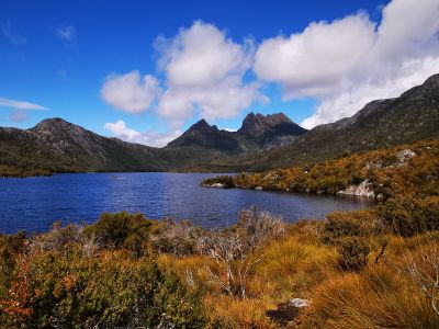
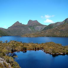
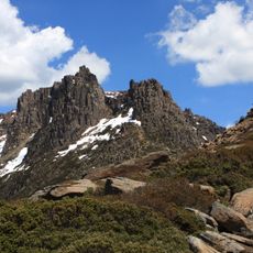
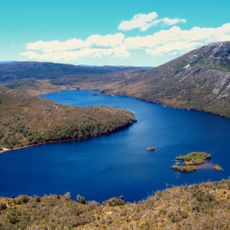
Cradle Mountain-Lake St Clair National Park, Nature reserve in Tasmania, Australia
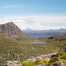
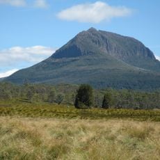
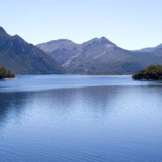
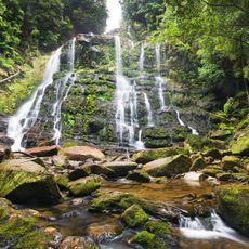
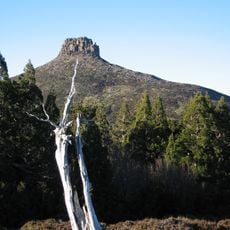
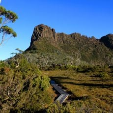
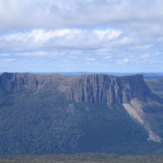
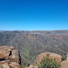
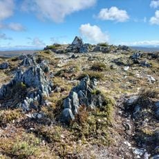
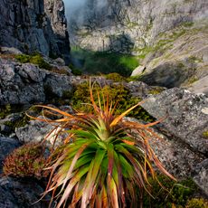
This national park in Tasmania protects mountains, rainforests, and glacial lakes in a large wilderness area. The landscape reveals different zones, from high alpine ridges down to dense forest valleys, each supporting distinct plant and animal communities.
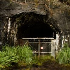
A naturalist of Austrian origin campaigned in the early 1900s to protect this region from development. The government responded by creating the protected area in 1922.
Indigenous peoples lived across this region for millennia, leaving evidence of their connection to the land. Today, walking through these landscapes means following in the footsteps of those ancient inhabitants.
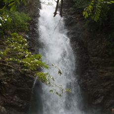
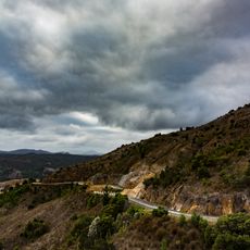
Visitors should prepare for changing weather and demanding walking routes, particularly at higher elevations. Proper gear and plenty of time are needed to explore the different landscapes safely.
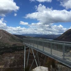
The park is crossed by a celebrated walking trail that connects two major mountain peaks across its terrain. This multi-day route draws thousands of hikers each year who trek through the full range of environments the place offers.
The community of curious travelers
AroundUs brings together thousands of curated places, local tips, and hidden gems, enriched daily by 60,000 contributors worldwide.