Enable Location

We need your location to show you interesting places around you

Discover nearby places

Find interesting locations and hidden gems around you

Precise directions

Get accurate directions and distances to places

Your location is never shared with other users. It's only used when you tap the location button.

Netherlands Antilles

Log in to your account

Start exploring — it's free

Trusted by 68,757 travelers worldwide

Continue with Google
Continue with Apple
or

We will send you a code to connect

By continuing, you accept our Terms and Conditions and our Privacy Policy

Check your inbox

We've sent a pincode in your inbox. Please enter the code below.

Netherlands Antilles
Discussion Reviews 1 Photos
313k Popularity

Netherlands Antilles, Former Caribbean territory in Kingdom of the Netherlands

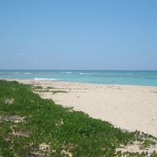
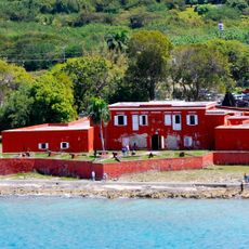
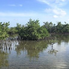
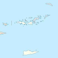
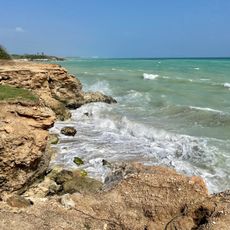
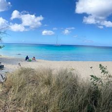
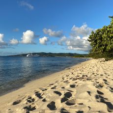
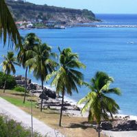
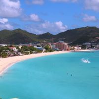
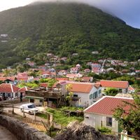
The Netherlands Antilles comprised six main islands divided into two groups: Aruba, Bonaire, and Curaçao in the south, and Saba, Sint Eustatius, and Sint Maarten in the north. Each island or island group had its own character, economy, and local society shaped by its geography and history.

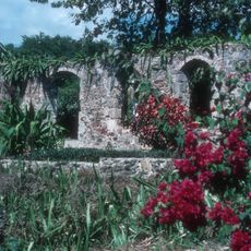
The territory was established in 1954 as a successor to the Dutch colony of Curaçao and Dependencies, maintaining this status until its dissolution on October 10, 2010. This dissolution marked the end of more than a century of colonial administration in the Caribbean region.

The territory was shaped by multilingual communication, with Papiamento dominant in the southern islands and English-based creole dialects common in the north, all coexisting with Dutch as the official language.

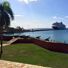
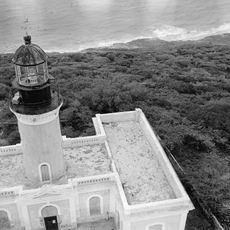
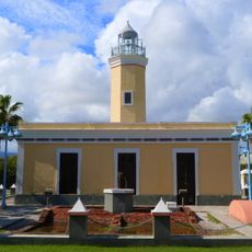
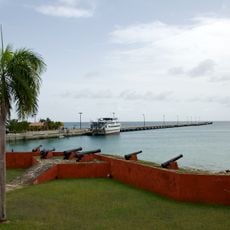
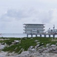
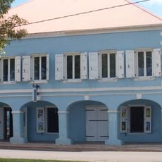
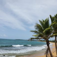
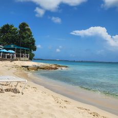
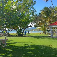
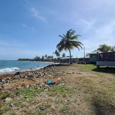
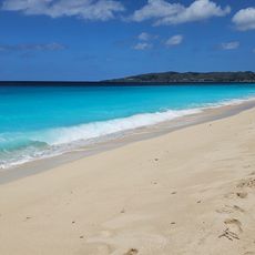
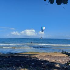
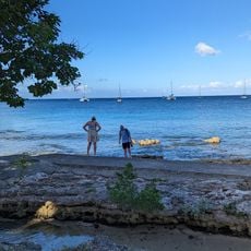
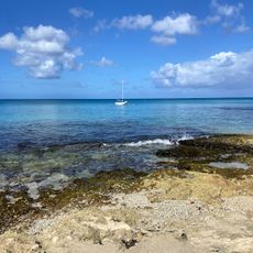
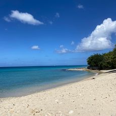
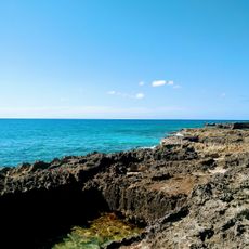
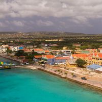
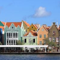
The territory's economy was based on tourism across all islands, petroleum processing in Curaçao, and financial services centered in Willemstad. Visitors would have found each island group had its own character and required different travel arrangements to explore.

Following dissolution, Curaçao and Sint Maarten became autonomous countries within the Netherlands, while Bonaire, Sint Eustatius, and Saba were transformed into special Dutch municipalities. This different treatment reflects how the former islands took separate political paths after independence.

The community of curious travelers

AroundUs brings together thousands of curated places, local tips, and hidden gems, enriched daily by 60,000 contributors worldwide.

Start exploring
Inception
December 15, 1954
Capital city
Willemstad
Part of
Dutch Empire
Shares border with
France
GPS coordinates
15.00000,-66.00000
Latest update
December 18, 2025 11:41
Around this place
Sandy Point National Wildlife Refuge
United States of America

Sandy Point National Wildlife Refuge

320.4 km
Fort Frederik
United States of America

Fort Frederik

324.9 km
Frederiksted Pier
United States of America

Frederiksted Pier

324.6 km
Central Aguirre Historic District
United States of America

Central Aguirre Historic District

329.9 km
Isla Caja de Muertos Lighthouse
United States of America

Isla Caja de Muertos Lighthouse

326.8 km
St. George Village Botanical Garden
United States of America

St. George Village Botanical Garden

326.7 km
United States of America

Caja de Muertos Nature Reserve

327 km
Punta de las Figuras Light
United States of America

Punta de las Figuras Light

329 km
Frederiksted Historic District
United States of America

Frederiksted Historic District

324.6 km
Punta Petrona
United States of America

Punta Petrona

329.7 km
Slob Historic District
United States of America

Slob Historic District

330.8 km
Estate Saint George Historic District
United States of America

Estate Saint George Historic District

327.3 km
Isla Aves Lighthouse
Venezuela

Isla Aves Lighthouse

266.2 km
Caribbean Museum Center for the Arts
United States of America

Caribbean Museum Center for the Arts

324.7 km
Playa Pozuelo
United States of America

Playa Pozuelo

327.5 km
Rainbow Beach
United States of America

Rainbow Beach

326.7 km
Den hellige treenighetskirke
United States of America

Den hellige treenighetskirke

324.8 km
Balneario de Patillas
United States of America

Balneario de Patillas

331.1 km
Balneario Punta Guilarte
United States of America

Balneario Punta Guilarte

329.6 km
Sandy Point Beach
United States of America

Sandy Point Beach

320.2 km
Balneario de Arroyo
United States of America

Balneario de Arroyo

329.8 km
Saint Croix Country Club Beach
United States of America

Saint Croix Country Club Beach

325.3 km
Frederiksted Beach
United States of America

Frederiksted Beach

324.9 km
LaGrange Beach
United States of America

LaGrange Beach

325.5 km
Monks Bath Beach
United States of America

Monks Bath Beach

329.7 km
Carlton Beach
United States of America

Carlton Beach

323.5 km
Sprat Hall Beach
United States of America

Sprat Hall Beach

327.3 km
West Beach
United States of America

West Beach

322.3 km
Show the full map
Reviews
Share your experience

No review yet

Discussions
Start a discussion...

No discussion yet

« Netherlands Antilles - Former Caribbean territory in Kingdom of the Netherlands » is provided by Around Us (aroundus.com). Images and texts are derived from Wikimedia project under a Creative Commons license. You are allowed to copy, distribute, and modify copies of this page, under the conditions set by the license, as long as this note is clearly visible.

Discover hidden gems everywhere you go!

From secret cafés to breathtaking viewpoints, skip the crowded tourist spots and find places that match your style. Our app makes it easy with voice search, smart filtering, route optimization, and insider tips from travelers worldwide. Download now for the complete mobile experience.

Around Us App Screenshot

A unique approach to discovering new places

Le Figaro

All the places worth exploring

France Info

A tailor-made excursion in just a few clicks

20 Minutes

Around Us
Travel Guide & Maps
Download

Send to your phone

QR Code
1

Open the camera app on your mobile.

2

Point at the QR code with your camera. A notification will appear.

3

Tap the notification to open the link.