Enable Location

We need your location to show you interesting places around you

Discover nearby places

Find interesting locations and hidden gems around you

Precise directions

Get accurate directions and distances to places

Your location is never shared with other users. It's only used when you tap the location button.

Curaçao

Log in to your account

Start exploring — it's free

Trusted by 61,880 travelers worldwide

Continue with Google
Continue with Apple
or

We will send you a code to connect

By continuing, you accept our Terms and Conditions and our Privacy Policy

Check your inbox

We've sent a pincode in your inbox. Please enter the code below.

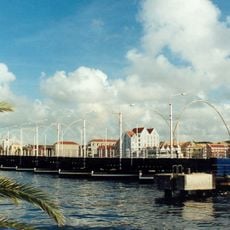
Curaçao, Caribbean island in Lesser Antilles, Netherlands.

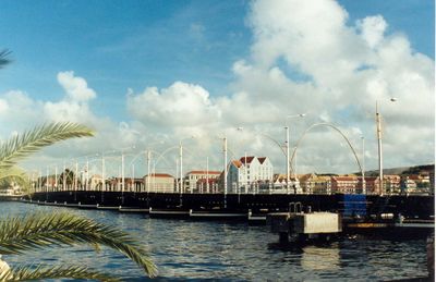
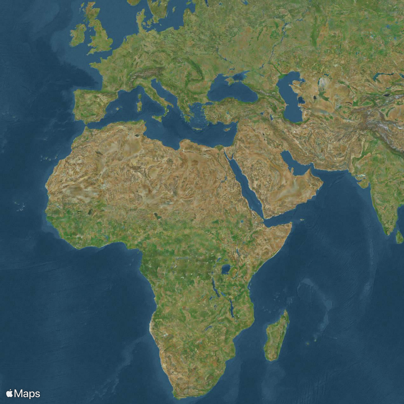
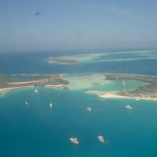
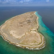
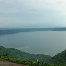
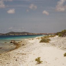
Curaçao is an island nation in the southern Caribbean within the Kingdom of the Netherlands, located roughly 40 miles (65 kilometers) north of the Venezuelan coast. The island extends 38 miles (61 kilometers) from northwest to southeast with a maximum width of nine miles (14 kilometers) and displays rocky coastlines, sheltered bays, and offshore coral reefs.

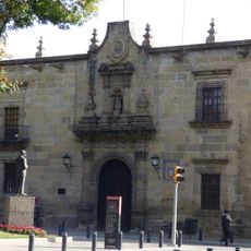
After Alonso de Ojeda arrived in 1499, the island remained under Spanish rule until 1634, when the Dutch West India Company captured it. The location enabled the establishment of a large slave trading center in the 18th century, which lasted until the Netherlands abolished slavery in 1863.

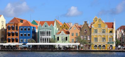
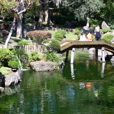
Dutch and Papiamentu serve as everyday languages in shops, restaurants, and government offices. Over 55 nationalities live permanently on the island and bring their kitchens, faiths, and holidays, so markets, galleries, and churches of different origins exist side by side.

The Hato airfield connects the island directly to Amsterdam, Miami, New York, and several South American cities, with Dutch and US citizens not requiring a visa for tourist stays up to 90 days. Rental cars and taxis serve as the main means of getting around, since public buses cover only limited routes.

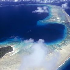
The Shete Boka National Park shoreline shows natural tunnels and caves in limestone, where seawater enters through underground channels and shoots fountains through openings up to 50 feet (15 meters) high. The island sits outside the main Atlantic hurricane path and has recorded only three direct hits from tropical storms in the past 150 years.

The community of curious travelers

AroundUs brings together thousands of curated places, local tips, and hidden gems, enriched daily by 60,000 contributors worldwide.

Start exploring
Location
Kingdom of the Netherlands
Inception
1954
Capital city
Willemstad
Elevation above the sea
39 m
Operator
Land Curaçao
Part of
Dutch Caribbean, ABC islands, Caribbean, Lesser Antilles, CAS countries
Address
Curaçao
GPS coordinates
12.19640,-69.01200
Latest update
December 14, 2025 22:55
« Curaçao - Caribbean island in Lesser Antilles, Netherlands » is provided by Around Us (aroundus.com). Images and texts are derived from Wikimedia project under a Creative Commons license. You are allowed to copy, distribute, and modify copies of this page, under the conditions set by the license, as long as this note is clearly visible.

Discover hidden gems everywhere you go!

From secret cafés to breathtaking viewpoints, skip the crowded tourist spots and find places that match your style. Our app makes it easy with voice search, smart filtering, route optimization, and insider tips from travelers worldwide. Download now for the complete mobile experience.

Around Us App Screenshot

A unique approach to discovering new places

Le Figaro

All the places worth exploring

France Info

A tailor-made excursion in just a few clicks

20 Minutes

Around Us
Travel Guide & Maps
Download

Send to your phone

QR Code
1

Open the camera app on your mobile.

2

Point at the QR code with your camera. A notification will appear.

3

Tap the notification to open the link.