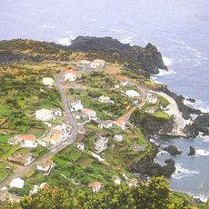
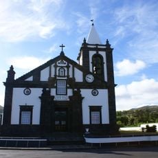
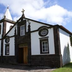
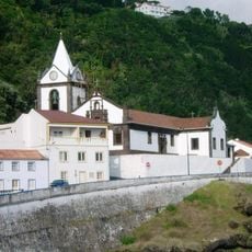
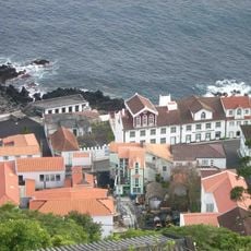
Porto Afonso, Coastal locality in Ilha do Pico, Portugal
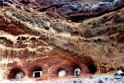
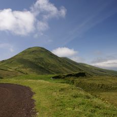
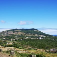
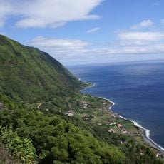
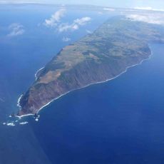
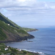
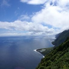
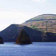
Porto Afonso sits on the northern coast of Pico Island and offers direct ocean access through natural volcanic rock formations that characterize the shoreline. The landscape is shaped by layered lava flows and rocky coastal stretches that define the area's appearance.
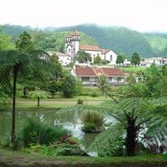
The settlement began in the 16th century when Portuguese colonizers established agricultural communities across the Azores archipelago, including on Pico Island. This early occupation led to the development of farming methods that continue to shape the land today.
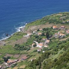
Residents tend small vineyard plots surrounded by low stone walls built from local volcanic rock, a farming method that has shaped daily life for centuries. This traditional approach remains visible in how the land is organized and used today.
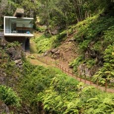
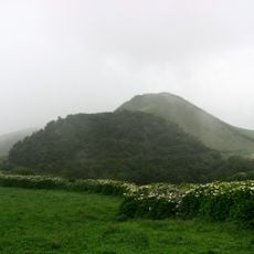
The best time to visit is during the warmer months when regional roads are easiest to travel and the landscape is at its greenest. Wearing comfortable walking shoes is wise since pathways cross volcanic rock and can be uneven in places.
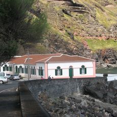
The black basalt structures date to periods when volcanic activity pushed lava into the sea, creating the rocky formations seen today. Local residents still use some of these formations for gathering shellfish and other marine life.
Address: Ilha Graciosa, 9880, Portugal
Website: https://pt.m.wikipedia.org/wiki/Porto_Afonso
GPS coordinates: 39.06621,-28.06722
Latest update: December 6, 2025 19:05
The Azores archipelago stretches about 1500 kilometers off the coast of Portugal in the Atlantic Ocean. The nine islands were born through volcanic activity, creating a land of unusual sights: craters turned into lakes, hot springs bubbling from the ground, caves formed naturally in the rocks, and...
Fajã do Ouvidor
43.3 km
Furna do Enxofre
9.4 km
Pico da Esperança
46.3 km
Urzelina
44.7 km
Fajã de São João
60.4 km
Lighthouse of Ponta dos Rosais
40.7 km
Church of Nossa Senhora de Guadalupe
4 km
Caldeira da Graciosa
9.3 km
Fajã dos Vimes
54.9 km
Church of Nossa Senhora do Rosário
63.5 km
Church of Santa Catarina
52 km
Ponta dos Rosais
40.8 km
Termas do Carapacho
11.1 km
Ponta da Barca Lighthouse
3.4 km
Calheta
50.1 km
Church of Santo Antão
62.7 km
Carapacho Lighthouse
11.3 km
Hermitage of Nossa Senhora da Ajuda
5.8 km
Ermitage de Notre-Dame de Livramento
44.6 km
Fajã das Pontas
46.1 km
Ermida do Senhor Bom Jesus
61.9 km
Museu da Graciosa
5.8 km
Miradouro da Fajã dos Cubres
47.1 km
Convento de São Francisco
44.8 km
Chapel of São Tomé (Calheta)
61.2 km
Forte do Corpo Santo
5.6 km
Forte do Corpo Santo Light
5.6 km
Zona Especial de Conservação do Ilhéu de Baixo e Ponta da Restinga (Graciosa)
11.1 kmVisited this place? Tap the stars to rate it and share your experience / photos with the community! Try now! You can cancel it anytime.
Discover hidden gems everywhere you go!
From secret cafés to breathtaking viewpoints, skip the crowded tourist spots and find places that match your style. Our app makes it easy with voice search, smart filtering, route optimization, and insider tips from travelers worldwide. Download now for the complete mobile experience.
A unique approach to discovering new places❞
— Le Figaro
All the places worth exploring❞
— France Info
A tailor-made excursion in just a few clicks❞
— 20 Minutes