Enable Location

We need your location to show you interesting places around you

Discover nearby places

Find interesting locations and hidden gems around you

Precise directions

Get accurate directions and distances to places

Your location is never shared with other users. It's only used when you tap the location button.

Hickory Oaks Trail

Log in to your account

Start exploring — it's free

Trusted by 62,923 travelers worldwide

Continue with Google
Continue with Apple
or

We will send you a code to connect

By continuing, you accept our Terms and Conditions and our Privacy Policy

Check your inbox

We've sent a pincode in your inbox. Please enter the code below.

Hickory Oaks Trail
Discussion Reviews 1 Photos
60+ Popularity

Hickory Oaks Trail, Mountain hiking trail in Santa Cruz County, United States

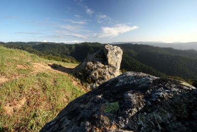
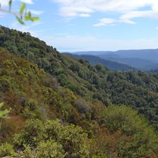
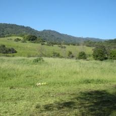
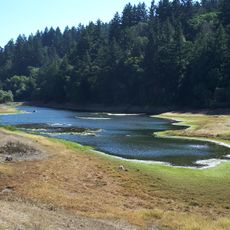
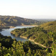
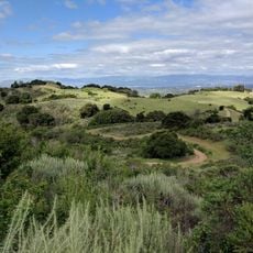
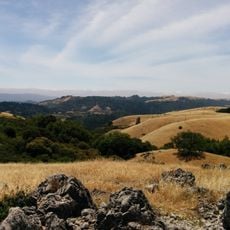
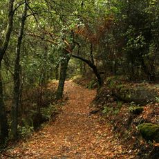
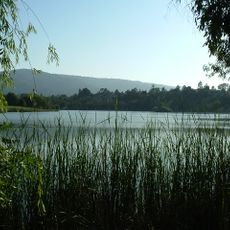
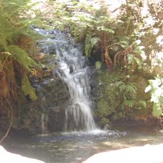
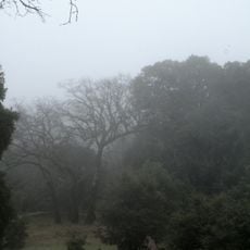
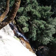
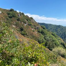
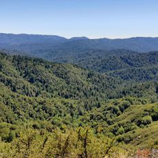
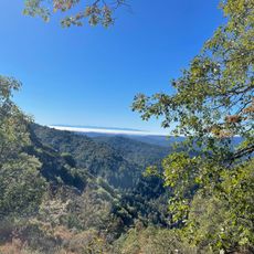
Hickory Oaks Trail is a hiking path that winds through oak woodland with mixed vegetation across the Santa Cruz County landscape. The route links to the Long Ridge Open Space Preserve at its end.

The trail came into existence through conservation work beginning in the 1980s to protect natural land corridors across the county. Management by the Midpeninsula Regional Open Space District ensured ongoing protection of the woodland ecosystem.

Local naturalists frequently organize guided walks along the trail to educate visitors about California native plants and regional wildlife patterns.

The trailhead is reached from Skyline Boulevard where parking is limited. Visitors should carry their own water as there are no facilities or refreshment stops along the way.

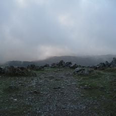
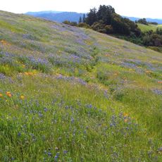
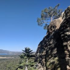
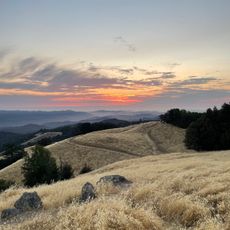
During spring months, the path reveals numerous wildflower species while offering clear weather views stretching toward the Pacific coastline.

The community of curious travelers

AroundUs brings together thousands of curated places, local tips, and hidden gems, enriched daily by 60,000 contributors worldwide.

Start exploring
Address
Hickory Oaks Trail, California, USA
GPS coordinates
37.27026,-122.14784
Latest update
December 15, 2025 13:26
Around this place
Castle Rock State Park
United States of America

Castle Rock State Park

6.4 km
Hakone Gardens
United States of America

Hakone Gardens

9.7 km
Permanente Quarry

Permanente Quarry

6.3 km
Rancho San Antonio County Park
United States of America

Rancho San Antonio County Park

8.3 km
Black Mountain
United States of America

Black Mountain

5.2 km
Portola Redwoods State Park
United States of America

Portola Redwoods State Park

4.8 km
Sanborn County Park
United States of America

Sanborn County Park

6.2 km
Stevens Creek Reservoir
United States of America

Stevens Creek Reservoir

6.4 km
McClellan Ranch Park
United States of America

McClellan Ranch Park

8.9 km
Fremont Older Open Space Preserve
United States of America

Fremont Older Open Space Preserve

7.8 km
Monte Bello Open Space Preserve
United States of America

Monte Bello Open Space Preserve

4.4 km
Russian Ridge Open Space Preserve
United States of America

Russian Ridge Open Space Preserve

8.2 km
Los Trancos Open Space Preserve
United States of America

Los Trancos Open Space Preserve

6.8 km
Vasona Reservoir
United States of America

Vasona Reservoir

6.6 km
Tip Toe Falls
United States of America

Tip Toe Falls

6.9 km
Saratoga Gap Open Space Preserve
United States of America

Saratoga Gap Open Space Preserve

2.8 km
Picchetti Ranch Open Space Preserve
United States of America

Picchetti Ranch Open Space Preserve

5.9 km
Церковь Святого Николая
United States of America

Церковь Святого Николая

9.8 km
Quarry Park
United States of America

Quarry Park

9.3 km
Deep Cliff Golf Course
United States of America

Deep Cliff Golf Course

8.7 km
Three Oaks Park
United States of America

Three Oaks Park

10.4 km
Castle Rock
United States of America

Castle Rock

6.5 km
Woodhills
United States of America

Woodhills

8.1 km
Castle Rock Falls
United States of America

Castle Rock Falls

6.2 km
Goat Rock Overlook
United States of America

Goat Rock Overlook

5.8 km
Saratoga Gap Trail
United States of America

Saratoga Gap Trail

4.3 km
Turtle Rock
United States of America

Turtle Rock

231 m
Emily Smith Observation Point
United States of America

Emily Smith Observation Point

5.6 km
Show the full map
Reviews
Share your experience

No review yet

Discussions
Start a discussion...

No discussion yet

« Hickory Oaks Trail - Mountain hiking trail in Santa Cruz County, United States » is provided by Around Us (aroundus.com). Images and texts are derived from Wikimedia project under a Creative Commons license. You are allowed to copy, distribute, and modify copies of this page, under the conditions set by the license, as long as this note is clearly visible.

Discover hidden gems everywhere you go!

From secret cafés to breathtaking viewpoints, skip the crowded tourist spots and find places that match your style. Our app makes it easy with voice search, smart filtering, route optimization, and insider tips from travelers worldwide. Download now for the complete mobile experience.

Around Us App Screenshot

A unique approach to discovering new places

Le Figaro

All the places worth exploring

France Info

A tailor-made excursion in just a few clicks

20 Minutes

Around Us
Travel Guide & Maps
Download

Send to your phone

QR Code
1

Open the camera app on your mobile.

2

Point at the QR code with your camera. A notification will appear.

3

Tap the notification to open the link.