Enable Location

We need your location to show you interesting places around you

Discover nearby places

Find interesting locations and hidden gems around you

Precise directions

Get accurate directions and distances to places

Your location is never shared with other users. It's only used when you tap the location button.

Castle Rock State Park

Log in to your account

Start exploring — it's free

Trusted by 62,900 travelers worldwide

Continue with Google
Continue with Apple
or

We will send you a code to connect

By continuing, you accept our Terms and Conditions and our Privacy Policy

Check your inbox

We've sent a pincode in your inbox. Please enter the code below.

Discussion Reviews 1 Photos
18.2k Popularity

Castle Rock State Park, State park in San Mateo County, US.

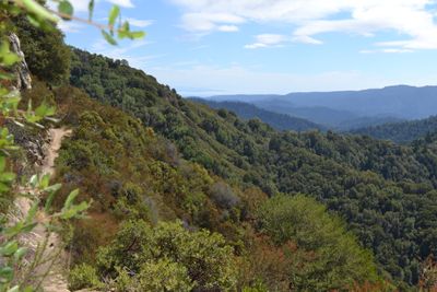
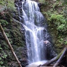
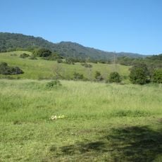
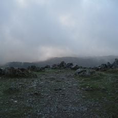
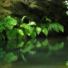
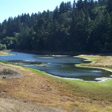
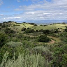
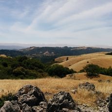
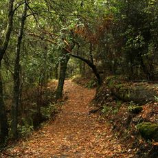
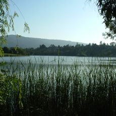
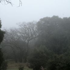
Castle Rock State Park is a protected area in the Santa Cruz Mountains that covers forested slopes and rock formations. The landscape includes dense woods with redwood trees, oaks, and madrones, along with open clearings dotted with wildflowers.

The area became a state park in 1968 after local groups campaigned to protect this landscape. Before the official designation, people used the rocks and caves for shelter and navigation for centuries.

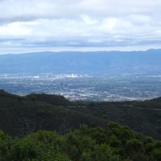
The name comes from a large sandstone formation that rises above the trees and can be seen from trails throughout the area. Visitors often climb onto this rock and enjoy views over the forested valleys below.

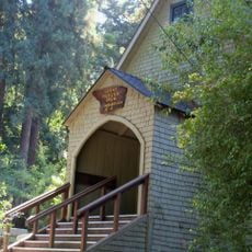
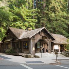
The park sits along Skyline Boulevard and offers access to trails that wind through forests and lead to viewpoints. Some sections are steep and require sturdy footwear, while other paths are manageable for families.

Some rock faces show old markings left by the first people who lived in these mountains. These signs remain visible even though centuries have passed and rain and wind have worn at them.

The community of curious travelers

AroundUs brings together thousands of curated places, local tips, and hidden gems, enriched daily by 60,000 contributors worldwide.

Start exploring
Location
Inception
1968
Operator
California Department of Parks and Recreation
Address
15451 CA-35, Los Gatos, CA 95033, USA
Phone
GPS coordinates
37.23060,-122.09600
Latest update
December 5, 2025 22:30
Around this place
Mountain Winery
United States of America

Mountain Winery

4.3 km
Hakone Gardens
United States of America

Hakone Gardens

5.4 km
Skyline-to-the-Sea Trail
United States of America

Skyline-to-the-Sea Trail

13.9 km
Ridge Vineyards
United States of America

Ridge Vineyards

8.8 km
Montalvo Arts Center
United States of America

Montalvo Arts Center

5.9 km
Permanente Quarry

Permanente Quarry

9.9 km
Rancho San Antonio County Park
United States of America

Rancho San Antonio County Park

11.2 km
Black Mountain
United States of America

Black Mountain

10.7 km
Portola Redwoods State Park
United States of America

Portola Redwoods State Park

9.8 km
Sanborn County Park
United States of America

Sanborn County Park

1.4 km
Picchetti Brothers Winery
United States of America

Picchetti Brothers Winery

7.3 km
Forbes Mill
United States of America

Forbes Mill

10.3 km
Le Petit Trianon
United States of America

Le Petit Trianon

10.9 km
Fremont Older Open Space Preserve
United States of America

Fremont Older Open Space Preserve

7.2 km
Monte Bello Open Space Preserve
United States of America

Monte Bello Open Space Preserve

10.1 km
Los Trancos Open Space Preserve
United States of America

Los Trancos Open Space Preserve

13 km
Vasona Reservoir
United States of America

Vasona Reservoir

7.2 km
New Museum Los Gatos
United States of America

New Museum Los Gatos

10.4 km
Tip Toe Falls
United States of America

Tip Toe Falls

11.2 km
El Sereno Open Space
United States of America

El Sereno Open Space

6.5 km
Saratoga Gap Open Space Preserve
United States of America

Saratoga Gap Open Space Preserve

3.7 km
Grace Episcopal Church
United States of America

Grace Episcopal Church

12.9 km
Headquarters Administration Building
United States of America

Headquarters Administration Building

12.9 km
Warner Hutton House
United States of America

Warner Hutton House

8.6 km
McCullagh-Jones House
United States of America

McCullagh-Jones House

9.1 km
Церковь Святого Николая
United States of America

Церковь Святого Николая

6.2 km
Deep Cliff Golf Course
United States of America

Deep Cliff Golf Course

9.3 km
Woodhills
United States of America

Woodhills

7.1 km
Show the full map
« Castle Rock State Park - State park in San Mateo County, US » is provided by Around Us (aroundus.com). Images and texts are derived from Wikimedia project under a Creative Commons license. You are allowed to copy, distribute, and modify copies of this page, under the conditions set by the license, as long as this note is clearly visible.

Discover hidden gems everywhere you go!

From secret cafés to breathtaking viewpoints, skip the crowded tourist spots and find places that match your style. Our app makes it easy with voice search, smart filtering, route optimization, and insider tips from travelers worldwide. Download now for the complete mobile experience.

Around Us App Screenshot

A unique approach to discovering new places

Le Figaro

All the places worth exploring

France Info

A tailor-made excursion in just a few clicks

20 Minutes

Around Us
Travel Guide & Maps
Download

Send to your phone

QR Code
1

Open the camera app on your mobile.

2

Point at the QR code with your camera. A notification will appear.

3

Tap the notification to open the link.