Skyline-to-the-Sea Trail, Hiking trail in Santa Cruz County, California
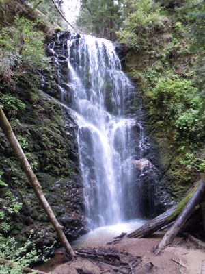
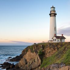
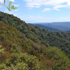
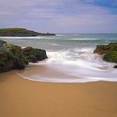
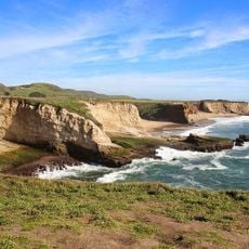
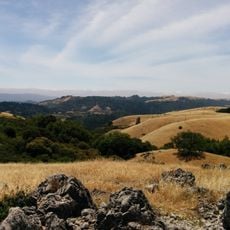
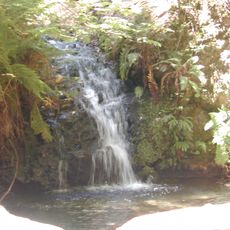
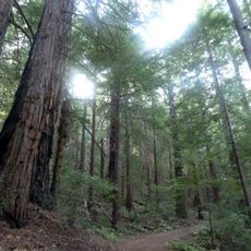
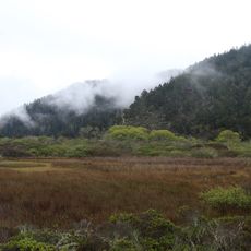
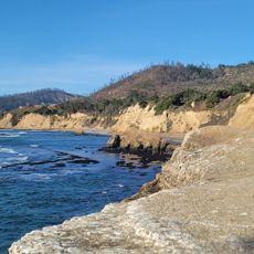
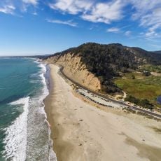
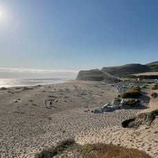
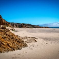
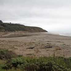
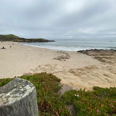
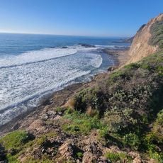
The Skyline-to-the-Sea Trail is a hiking route stretching roughly 30 kilometers from the Santa Cruz Mountains ridge down to the Pacific Ocean, passing through redwood forests and coastal ecosystems. The path connects different landscapes through multiple access points.
The trail was created in the 1970s by conservation organizations and state authorities to connect the mountains with the coast. This partnership was essential in establishing the long-distance route that exists today.
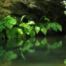
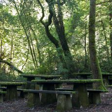
The trail passes through old redwood groves and shows how the Santa Cruz Mountains transformed from logging operations to protected forest. Visitors encounter traces of this industrial past scattered through pristine woodland today.
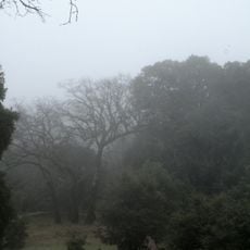
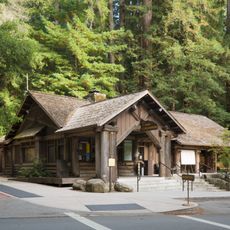
This route requires careful planning for multi-day hikes with overnight stays at designated camps. Visitors should expect changing weather conditions and check multiple access points before setting out.
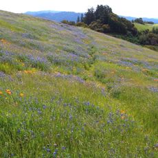
The path descends from over 2,600 feet elevation straight down to the ocean, allowing hikers to experience mountain forest and ocean air in a single journey. This dramatic elevation change reveals different plants and animals depending on the season.
Location: Santa Cruz County
GPS coordinates: 37.17552,-122.23664
Latest update: December 7, 2025 19:31
Big Basin Redwoods State Park
1.3 km
Pigeon Point Lighthouse
14 km
Año Nuevo State Park
9.8 km
Castle Rock State Park
13.9 km
Butano State Park
7.7 km
Año Nuevo Island
11.7 km
Portola Redwoods State Park
9.9 km
Bean Hollow State Beach
16.3 km
Coast Dairies
16.7 km
Monte Bello Open Space Preserve
16.8 km
Russian Ridge Open Space Preserve
16.1 km
Tip Toe Falls
8.3 km
Memorial Park
12.5 km
Saratoga Gap Open Space Preserve
13.9 km
Sam McDonald County Park
13.7 km
Grace Episcopal Church
12.2 km
Theodore J. Hoover Natural Preserve
9.6 km
Methodist Episcopal Church of Pescadero
15.4 km
Rancho Del Oso Nature and History Center
9.4 km
Headquarters Administration Building
1.4 km
Greyhound Rock Beach
11 km
Waddell Beach (State Parks)
9.6 km
Ano Nuevo light station
11.7 km
Scott Creek Beach
15.1 km
Gazos Creek State Beach
11.2 km
Waddell Creek Beach
9.7 km
Arroyo De Los Frijoles Beach
16.3 km
China Ladder Beach
12.2 kmVisited this place? Tap the stars to rate it and share your experience / photos with the community! Try now! You can cancel it anytime.
Discover hidden gems everywhere you go!
From secret cafés to breathtaking viewpoints, skip the crowded tourist spots and find places that match your style. Our app makes it easy with voice search, smart filtering, route optimization, and insider tips from travelers worldwide. Download now for the complete mobile experience.
A unique approach to discovering new places❞
— Le Figaro
All the places worth exploring❞
— France Info
A tailor-made excursion in just a few clicks❞
— 20 Minutes