Sam McDonald County Park

Log in to your account

AroundUs is a community-driven map of interesting places, built by curious explorers like you. It grows with every review, story, and photo you share.
Connect to save your favorite spots, contribute locations, and create personalized routes.
Continue with Google
Continue with Apple
Continue with X
Continue with Facebook
Continue with email
By continuing, you accept our Terms and Conditions and our Privacy Policy
Create an account

Sam McDonald County Park

Add to collection
Map
Suggest a change
Share

Sam McDonald County Park, County park in La Honda, California.

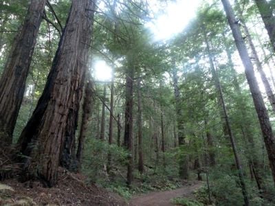
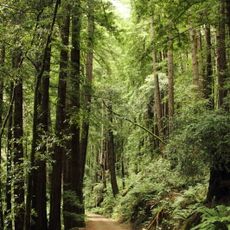
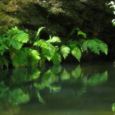
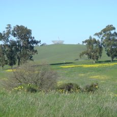
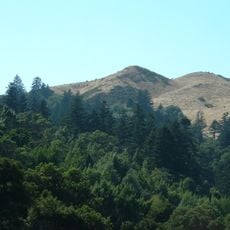
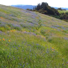
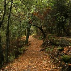
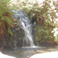
Sam McDonald County Park is a natural area near Loma Mar with two distinct landscapes: a redwood forest in the northwest and open grassland on the ridges in the southeast. The 867-acre park connects through trails to neighboring protected lands.

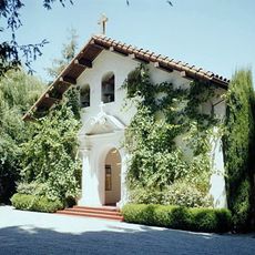
The land came from Sam McDonald's estate after his death in 1957, when Stanford University received 400 acres. San Mateo County purchased the property in 1958 and opened it as a public park.

The park serves as a gathering place for horse riders who use the extensive trail network and stay at Jack Brook Horse Camp. The riding culture remains central to how visitors and locals experience the land today.

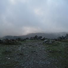
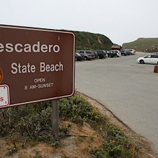
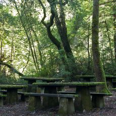
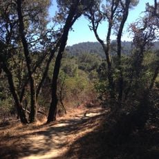
The park is accessible via Pescadero Creek Road and offers a range of trails for different fitness levels and interests. Visitors should wear sturdy shoes, as paths go through forests and over hills where weather can change quickly.

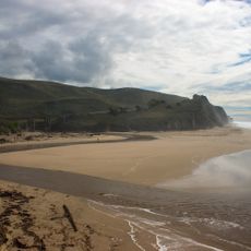
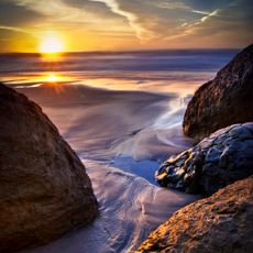
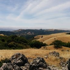
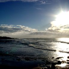
From the higher sections in the southeast, visitors can see the ocean on clear days, along with Pescadero Creek valley and Butano Ridge. These viewpoints offer a rewarding break while walking through the hilly terrain.

GPS coordinates: 37.29667,-122.26556

Latest update: December 14, 2025 18:16

Photos
Around this place
Jackling House
United States of America

Jackling House

13.4 km
Ridge Vineyards
United States of America

Ridge Vineyards

12.1 km
Butano State Park
United States of America

Butano State Park

10.1 km
San Gregorio State Beach
United States of America

San Gregorio State Beach

12.4 km
Black Mountain
United States of America

Black Mountain

10.7 km
Portola Redwoods State Park
United States of America

Portola Redwoods State Park

7.1 km
Arastradero Preserve
United States of America

Arastradero Preserve

12.9 km
Pescadero State Beach
United States of America

Pescadero State Beach

13.6 km
Searsville Dam
United States of America

Searsville Dam

12.5 km
Pomponio State Beach
United States of America

Pomponio State Beach

12.6 km
Windy Hill Open Space Preserve
United States of America

Windy Hill Open Space Preserve

8.2 km
Folger Estate Stable Historic District
United States of America

Folger Estate Stable Historic District

12.4 km
Our Lady of the Wayside Church
United States of America

Our Lady of the Wayside Church

10.1 km
Monte Bello Open Space Preserve
United States of America

Monte Bello Open Space Preserve

10.3 km
Russian Ridge Open Space Preserve
United States of America

Russian Ridge Open Space Preserve

5 km
Los Trancos Open Space Preserve
United States of America

Los Trancos Open Space Preserve

8.3 km
Tip Toe Falls
United States of America

Tip Toe Falls

6.6 km
Memorial Park
United States of America

Memorial Park

3.3 km
Saratoga Gap Open Space Preserve
United States of America

Saratoga Gap Open Space Preserve

13.6 km
Thornewood Open Space Preserve
United States of America

Thornewood Open Space Preserve

10.5 km
Methodist Episcopal Church of Pescadero
United States of America

Methodist Episcopal Church of Pescadero

11.5 km
San Gregorio House
United States of America

San Gregorio House

11.2 km
Portola Valley School
United States of America

Portola Valley School

10 km
Tunitas Beach
United States of America

Tunitas Beach

13.7 km
San Gregorio Beach
United States of America

San Gregorio Beach

12.5 km
Sand Beach
United States of America

Sand Beach

13.1 km
Portola Valley Library
United States of America

Portola Valley Library

10 km
Pescadero Beach
United States of America

Pescadero Beach

13.6 km
Show the full map
Reviews

Visited this place? Tap the stars to rate it and share your experience / photos with the community! Try now! You can cancel it anytime.

« Sam McDonald County Park - County park in La Honda, California » is provided by Around Us (aroundus.com). Images and texts are derived from Wikimedia project under a Creative Commons license. You are allowed to copy, distribute, and modify copies of this page, under the conditions set by the license, as long as this note is clearly visible.

Discover hidden gems everywhere you go!

From secret cafés to breathtaking viewpoints, skip the crowded tourist spots and find places that match your style. Our app makes it easy with voice search, smart filtering, route optimization, and insider tips from travelers worldwide. Download now for the complete mobile experience.

Around Us App Screenshot

A unique approach to discovering new places

Le Figaro

All the places worth exploring

France Info

A tailor-made excursion in just a few clicks

20 Minutes