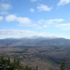
Mount Moosilauke
6.2 km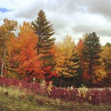
Hubbard Brook Experimental Forest
16.1 km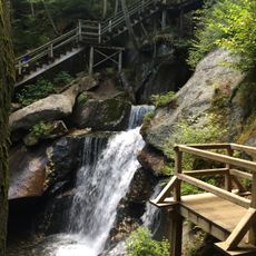
Lost River Reservation
10.2 km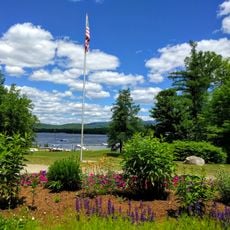
Camp Walt Whitman
9.4 km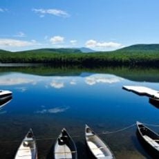
Lake Tarleton
6.7 km
Bedell Covered Bridge
13.5 km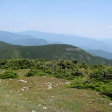
Mount Blue (New Hampshire)
7.2 km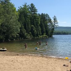
Lake Tarleton State Park
6.8 km
Swiftwater Covered Bridge
13 km
Bedell Bridge State Park
13.4 km
Daniel Carr House
12.3 km
Haverhill Corner Historic District
12.5 km
Wildwood Hall
14 km
Bayley Historic District
13.5 km
South Newbury Village Historic District
14.4 km
Sawyer-Medlicott House
16.5 km
Blodgett Pond
15.7 km
Newbury Historic District
13.5 km
Baker Floodwater Reservoir Site 2 Dam
9.2 km
Bailey Eddy
13.3 km
Baker Floodwater Reservoir Site 6 Dam
15.5 km
Baker Floodwater Reservoir Site 5 Dam
15.5 km
Newbury Village Historic District
13.5 km
10th Mt. Div. Outlook
9.5 km
Scenic viewpoint
5.6 km
Scenic viewpoint
555 m
Dusk Falls
11.1 km
Paradise Falls
10.4 kmReviews
Visited this place? Tap the stars to rate it and share your experience / photos with the community! Try now! You can cancel it anytime.
Discover hidden gems everywhere you go!
From secret cafés to breathtaking viewpoints, skip the crowded tourist spots and find places that match your style. Our app makes it easy with voice search, smart filtering, route optimization, and insider tips from travelers worldwide. Download now for the complete mobile experience.

A unique approach to discovering new places❞
— Le Figaro
All the places worth exploring❞
— France Info
A tailor-made excursion in just a few clicks❞
— 20 Minutes