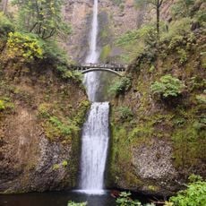
Columbia River Gorge National Scenic Area
6.1 km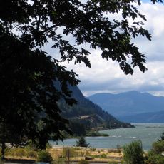
Starvation Creek State Park
10.4 km
Western Antique Aeroplane & Automobile Museum
11.1 km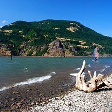
Viento State Park
10.5 km
Vinzenz Lausmann Memorial State Natural Area
10.1 km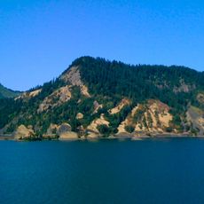
Seneca Fouts Memorial State Natural Area
11.2 km
Wygant State Natural Area
9.9 km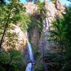
Hole-in-the-Wall Falls
10.6 km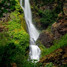
Starvation Creek Falls
10.2 km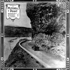
Mitchell Point
11 km
Warren Creek Falls
10.5 km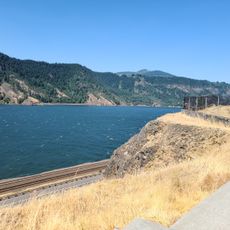
Mitchell Point Trailhead
11.2 km
Seven Streams Staging Area
11.3 km
Wygant Lower Viewpoint
10.7 km
Sunset Viewpoint
10.9 km
Scenic viewpoint
10.2 km
Scenic viewpoint
10.5 km
Scenic viewpoint
11 km
Wygant Middle Viewpoint
10.2 km
Scenic viewpoint
10.7 km
Tucker County Park and Campground
8 km
Hole-in-the-Wall Falls
10.6 km
Harrison Falls
11.2 km
Lindsey Creek Falls
11.2 km
Starvation Creek Falls
10.2 km
Lancaster Falls
10.6 km
Lower Lancaster Falls
10.6 km
Punchbowl Falls
78 mReviews
Visited this place? Tap the stars to rate it and share your experience / photos with the community! Try now! You can cancel it anytime.
Discover hidden gems everywhere you go!
From secret cafés to breathtaking viewpoints, skip the crowded tourist spots and find places that match your style. Our app makes it easy with voice search, smart filtering, route optimization, and insider tips from travelers worldwide. Download now for the complete mobile experience.

A unique approach to discovering new places❞
— Le Figaro
All the places worth exploring❞
— France Info
A tailor-made excursion in just a few clicks❞
— 20 Minutes