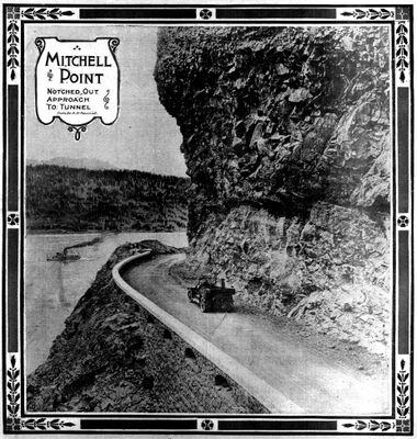
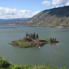
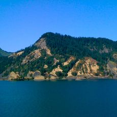
Mitchell Point, cape in the Columbia River Gorge, Hood River County, Oregon
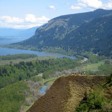
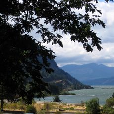
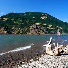
Mitchell Point is a rocky outcrop in the Columbia River Gorge accessible by a short, steep trail that climbs quickly through forest and over loose stone sections. The summit offers views of the river stretching in both directions and the surrounding hills.
The rock formation was shaped over thousands of years by volcanic activity and erosion, becoming a distinctive feature of the Gorge landscape. The area has been a place for people to experience nature for generations.
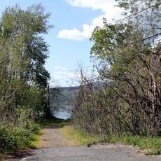
The trail is short but steep and requires sturdy footwear and possibly trekking poles for stability on loose stones. Parking is limited and fills quickly during weekends, so arriving early morning or late afternoon is recommended. Bring adequate water and be prepared for a physical workout on the climb.
The summit is narrow with sharp drop-offs on all sides, requiring careful footing on an exposed rocky ledge. Spring wildflowers, particularly grass widows blooming in late March and early April, add seasonal color to the rocky slopes.
The community of curious travelers
AroundUs brings together thousands of curated places, local tips, and hidden gems, enriched daily by 60,000 contributors worldwide.