Durupınar site, Archaeological site in Doğubayazıt, Turkey
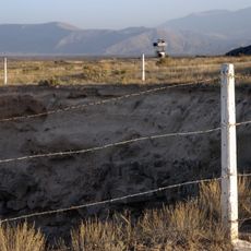
The Durupınar site is a rock formation on the slopes of Mount Tendürek in eastern Turkey, close to the town of Doğubayazıt and the Iranian border. Seen from a distance, the formation has a long, curved outline that resembles a boat resting on the hillside.
The formation became visible in 1948 after heavy rains and earthquakes uncovered it, when a shepherd named Reshit Sarihan first noticed it. In 1959, a Turkish military officer named İlhan Durupınar photographed it from the air during a NATO mapping mission, which is how the site got its name and first reached a wider audience.
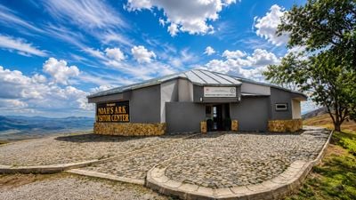
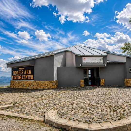
The site draws visitors connected to the biblical flood story, since its boat-like outline has long inspired debate about Noah's Ark. Walking around the formation from different angles keeps changing what it appears to look like, which is part of what makes a visit here so open-ended.
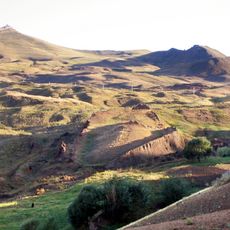
The terrain around the site is rocky and uneven, so sturdy footwear makes a real difference when walking around the formation. Visiting in good daylight helps you see the outline clearly, as shadows from the surrounding hills can make it harder to read the shape in low light.
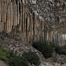
The formation is made mostly of limonite, a weathered volcanic mineral, which gives the rock its distinctive brown and orange coloring. Geologists have confirmed it is a natural structure, but that conclusion has done little to slow the flow of visitors who come hoping to see something more.
The community of curious travelers
AroundUs brings together thousands of curated places, local tips, and hidden gems, enriched daily by 91,370 contributors worldwide.