Příbram, Mining town in Central Bohemia, Czech Republic
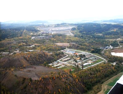
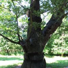
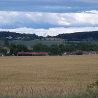
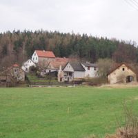
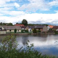
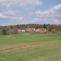
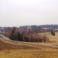
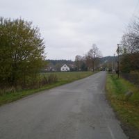
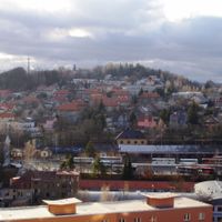
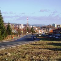
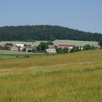
Příbram sits at 502 meters elevation along the Litavka River, surrounded by the Brdy Mountains about 59 kilometers southwest of Prague. The town developed around silver ore deposits that were mined for centuries, shaping its layout and character.
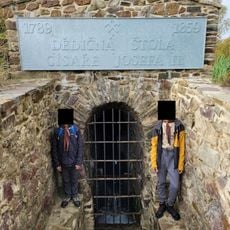
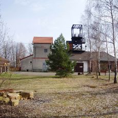
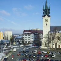
The town gained city rights in 1497 and became a royal mining settlement in 1579 under Emperor Rudolf II because of its silver deposits. This recognition launched centuries of ore extraction that shaped the region.
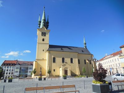
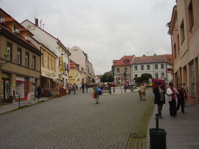
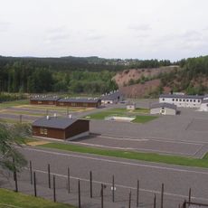
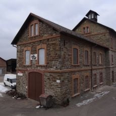
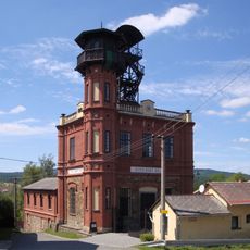
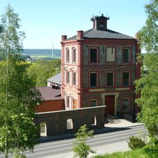
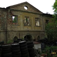
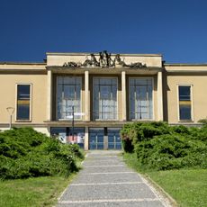
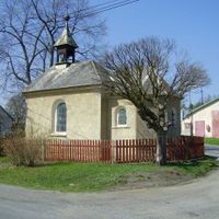
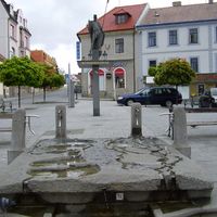
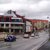
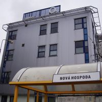
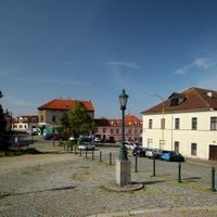
The town's identity is rooted in mining, a heritage that shapes how residents and visitors see the landscape today. Walking through the streets, you notice old industrial buildings and remnants that tell the story of generations who worked underground.
The town connects well to major transportation routes and has schools with specialized mining programs available. Visiting works best outside the coldest winter months when weather is more stable and easier to navigate.
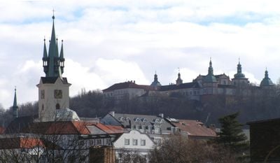
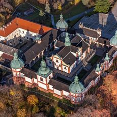
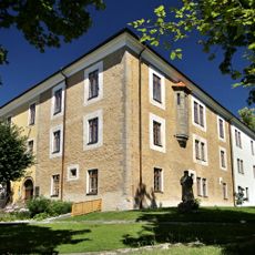
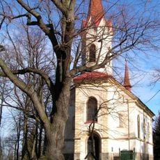
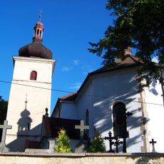
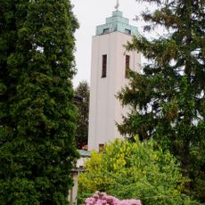
The Holy Hill pilgrimage site connects to the town through a covered staircase leading to a Baroque monastery dedicated to Mary. This link between industrial heritage and sacred space is a defining feature visitors rarely expect.
Location: Příbram District
Location: upravni občinski okoliš z razširjenimi pristojnostmi Příbram
Elevation above the sea: 502 m
Reference: CZ020B539911
Shares border with: Podlesí, Milín, Narysov, Třebsko, Lazsko, Dubno, Trhové Dušníky, Lhota u Příbramě, Háje, Dubenec, Bohutín, Lešetice, Višňová
Email: e-podatelna@pribram.eu
Website: https://pribram.eu
GPS coordinates: 49.68997,14.01047
Latest update: December 17, 2025 09:38
Svatá Hora
752 m
Památník Vojna
5.6 km
Anna mine
1.2 km
Dědičná štola císaře Josefa II.
2.2 km
Zámeček Ernestinum
20 m
Ševčinský důl
1.9 km
Church of Saint James the Greater in Příbram
161 m
Důl Vojtěch
1.4 km
Church of Saint Procopius in Březové Hory
1.3 km
Podzemní zásobník plynu Háje
4.6 km
Vila Rusalka
7.3 km
Castle in Vysoká u Příbramě
7.8 km
Důl Drkolnov
2.8 km
Svatováclavský dub
847 m
Church of Saint Peter (Slivice)
5.3 km
Řimbaba Mine
4.2 km
Church of Saint Adalbert
1.7 km
Dubenec
4.9 km
Hussite church
1.5 km
Jewish cemetery in Kamenná
7 km
Jewish cemetery in Příbram
1.2 kmVstupní portál Květenské štoly
2.1 km
Lípy u svatého Prokopa
1.3 kmŠvédské hradby
7.4 km
Společenský dům
1.2 kmSocha svatého Jakuba Kisaie na balustrádě kolem baziliky Nanebevzetí Panny Marie na Svaté Hoře
754 mSocha Dívka se psem v Příbrami
974 mSocha anděla s Pannou Marií Boleslavskou na balustrádě kolem baziliky Nanebevzetí Panny Marie na Svaté Hoře
777 mVisited this place? Tap the stars to rate it and share your experience / photos with the community! Try now! You can cancel it anytime.
Discover hidden gems everywhere you go!
From secret cafés to breathtaking viewpoints, skip the crowded tourist spots and find places that match your style. Our app makes it easy with voice search, smart filtering, route optimization, and insider tips from travelers worldwide. Download now for the complete mobile experience.
A unique approach to discovering new places❞
— Le Figaro
All the places worth exploring❞
— France Info
A tailor-made excursion in just a few clicks❞
— 20 Minutes