Enable Location

We need your location to show you interesting places around you

Discover nearby places

Find interesting locations and hidden gems around you

Precise directions

Get accurate directions and distances to places

Your location is never shared with other users. It's only used when you tap the location button.

Náchod

Log in to your account

Start exploring — it's free

Trusted by 62,555 travelers worldwide

Continue with Google
Continue with Apple
or

We will send you a code to connect

By continuing, you accept our Terms and Conditions and our Privacy Policy

Check your inbox

We've sent a pincode in your inbox. Please enter the code below.

Náchod, Border town in Hradec Králové Region, Czech Republic

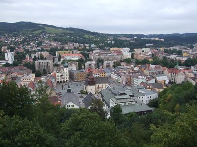
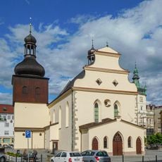
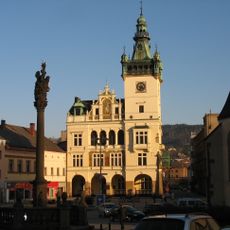
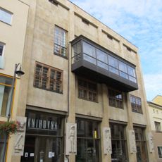
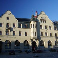
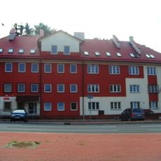
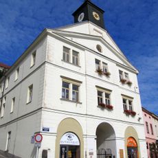
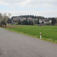
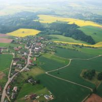
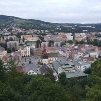
Náchod is a district town situated at the border with Poland in the Orlické Foothills region. Its old core centers on a main square surrounded by narrow lanes and buildings of varied ages, with residential areas spreading across the surrounding terrain.

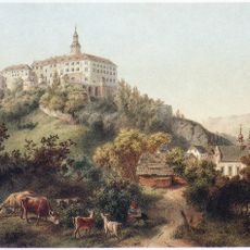
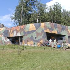
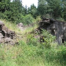
Founded in the 13th century as a fortress to protect trade routes between Bohemia and Poland, the town grew into a regional center of commerce and craft. Its position at a crossroads brought diverse populations whose impact remains visible in its neighborhoods.

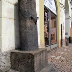
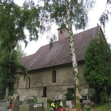
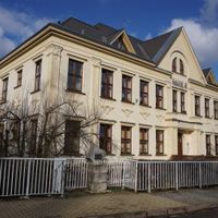
The Jewish neighborhood reflects centuries of coexistence, with its synagogue and cemetery still marking the streets where merchants and craftspeople once conducted daily life. This part of town shows how different communities shaped local commerce and social rhythms.

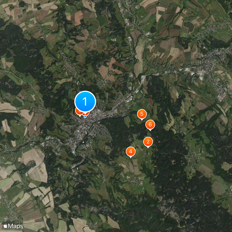
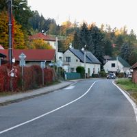
The town is easily accessible by car, with the border crossing to Poland just a short distance north, making day trips straightforward. The railway station connects to larger Czech cities, and buses serve the surrounding villages regularly.

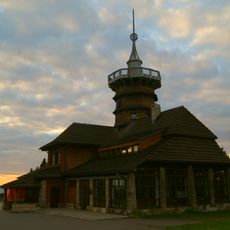
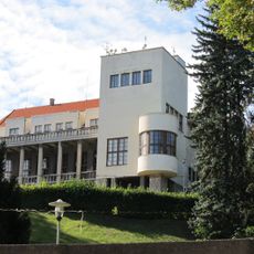
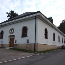
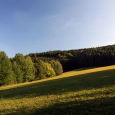
The Běloves district contains mineral springs that supplied a local spa for nearly 180 years before it closed. Though the spa no longer operates, the restored colonnade around the springs remains a quiet reminder of this past function.

The community of curious travelers

AroundUs brings together thousands of curated places, local tips, and hidden gems, enriched daily by 60,000 contributors worldwide.

Start exploring
Location
Elevation above the sea
347 m
Reference
CZ0523573868
Shares border with
Provodov-Šonov, Kramolna, Vysokov, Velké Poříčí, Jestřebí, Horní Radechová, Dolní Radechová, Česká Čermná, Přibyslav, Kudowa-Zdrój
GPS coordinates
50.41674,16.16297
Latest update
December 19, 2025 23:54
« Náchod - Border town in Hradec Králové Region, Czech Republic » is provided by Around Us (aroundus.com). Images and texts are derived from Wikimedia project under a Creative Commons license. You are allowed to copy, distribute, and modify copies of this page, under the conditions set by the license, as long as this note is clearly visible.

Discover hidden gems everywhere you go!

From secret cafés to breathtaking viewpoints, skip the crowded tourist spots and find places that match your style. Our app makes it easy with voice search, smart filtering, route optimization, and insider tips from travelers worldwide. Download now for the complete mobile experience.

Around Us App Screenshot

A unique approach to discovering new places

Le Figaro

All the places worth exploring

France Info

A tailor-made excursion in just a few clicks

20 Minutes

Around Us
Travel Guide & Maps
Download

Send to your phone

QR Code
1

Open the camera app on your mobile.

2

Point at the QR code with your camera. A notification will appear.

3

Tap the notification to open the link.