Stołowe Mountains, Mountain range in Lower Silesian Voivodeship, Poland and Czech Republic.
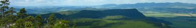
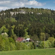
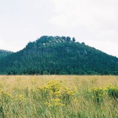
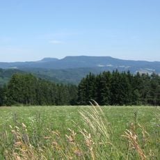
The Stołowe Mountains form a range with flat high plateaus and vertical sandstone cliffs that stretch across two countries and reach roughly 920 meters at their highest point near Szczeliniec Wielki. The sandstone layers show erosion-shaped plains and steep rock faces that create a jagged relief with sharp contours.
The mountain formations emerged around 70 million years ago when wide erosion processes shaped the sandstone layers and created the structure visible today. The vertical breaks and horizontal plateaus developed over long periods through ongoing weathering and removal of soft rock.
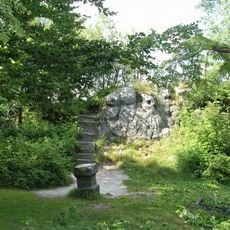
Rock formations across this range remind visitors of animals and objects through their shape, earning them names like Kwoka, Wielbłąd, or Głowa Konia. Hikers follow these marked waypoints and link their personal impressions with the locally grown designations of individual stone outcrops.
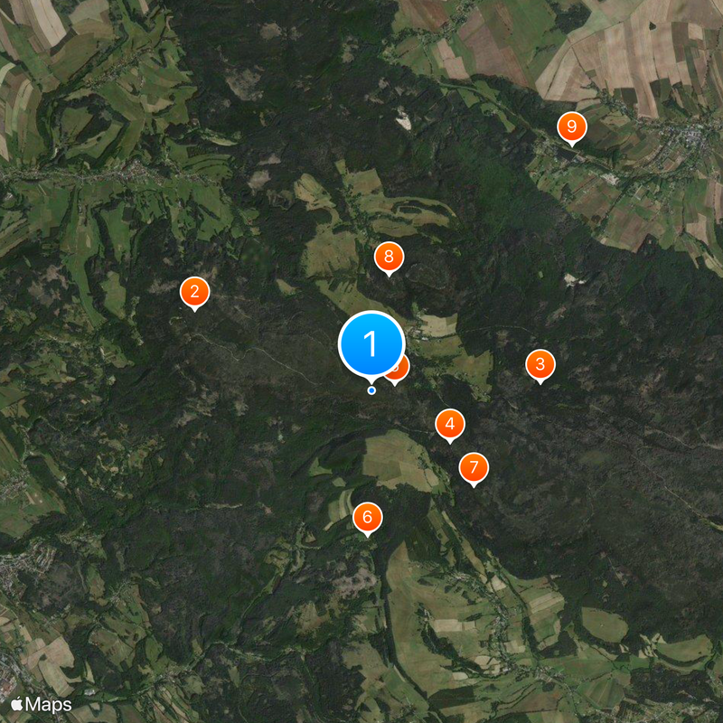
Marked hiking routes run through the national park established in 1993 and are reachable from several access points near Kudowa-Zdrój. Visitors should wear sturdy footwear and allow enough time for ascents on steep paths, especially in wet conditions.
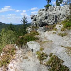
Natural stone labyrinths wind through the range, particularly noticeable at Błędne Skały, where narrow passages run between tall sandstone walls. Visitors can move through these winding paths and keep discovering unexpected openings and hidden passages between the rock blocks.
The community of curious travelers
AroundUs brings together thousands of curated places, local tips, and hidden gems, enriched daily by 60,000 contributors worldwide.