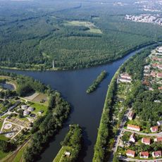
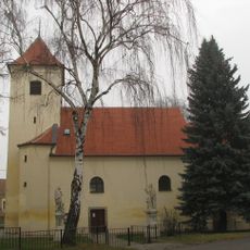
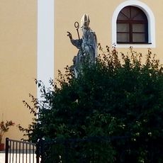
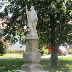
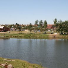
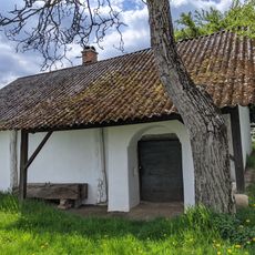
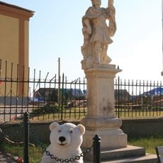
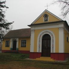
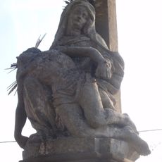
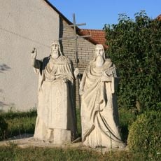
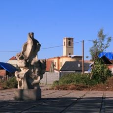
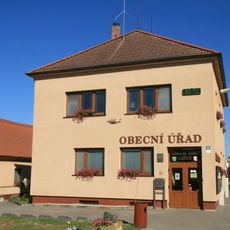
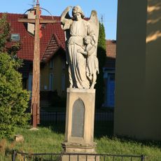
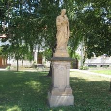
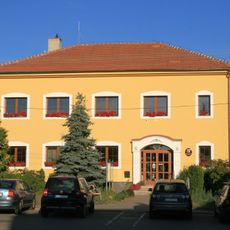
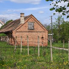
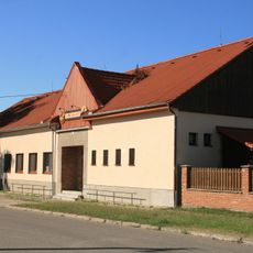
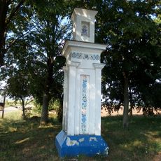
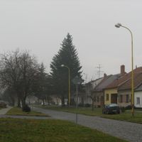
Mikulčice, village in Hodonín District of South Moravian region
Location: Hodonín
Location: Hodonín District
Elevation above the sea: 165 m
Shares border with: Lužice, Dolní Bojanovice, Moravská Nová Ves, Josefov, Hodonín
Email: podatelna@mikulcice.cz
Website: https://mikulcice.cz
GPS coordinates: 48.81645,17.05106
Latest update: March 11, 2025 19:45
Danube-Oder-Elbe Canal
4 km
Mikulčice Archaeopark
3 km
Church of Saints Cyril and Methodius
3 km
Church of Saint James the Greater
3.1 km
Great Moravia Footbridge
3.6 km
Skařiny
3.6 km
Church of the Assumption (Mikulčice)
259 m
Nature park Mikulčický luh
2.5 km
Socha svatého Ondřeje
250 m
Statue of Saint John of Nepomuk in Moravská Nová Ves
3.1 km
Cihelna
3.7 km
Statue of Saint Wenceslaus in Moravská Nová Ves
3.1 km
Statue of Saint Anne in Moravská Nová Ves
3.5 km
Vinný sklep s lisovnou
1.1 km
Statue of Saint Florian in Moravská Nová Ves
3.1 km
Chapel of Saint Roch
345 m
Sousoší Piety pod Křížem
4.2 km
Sousoší sv. Cyrila a Metoděje
170 m
Vinná réva
3.3 km
Municipal office in Lužice
2.6 km
Sousoší Anděla Strážného
275 m
Kulturní dům Mikulčice
352 m
Statue of Saint Joseph in Moravská Nová Ves
3.1 km
Obecní úřad Mikulčice
150 m
Soubor vinařských a hospodářských staveb
1.1 km
Lidový dům
3.2 km
Alegorie úrody a zemědělství
3.6 km
Boží muka
2.4 kmReviews
Visited this place? Tap the stars to rate it and share your experience / photos with the community! Try now! You can cancel it anytime.
Discover hidden gems everywhere you go!
From secret cafés to breathtaking viewpoints, skip the crowded tourist spots and find places that match your style. Our app makes it easy with voice search, smart filtering, route optimization, and insider tips from travelers worldwide. Download now for the complete mobile experience.
A unique approach to discovering new places❞
— Le Figaro
All the places worth exploring❞
— France Info
A tailor-made excursion in just a few clicks❞
— 20 Minutes