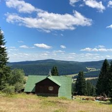
Zadní Planina, Mountain summit in Krkonoše, Czech Republic.
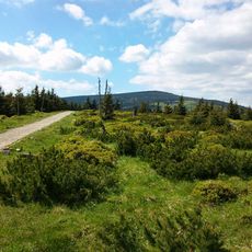
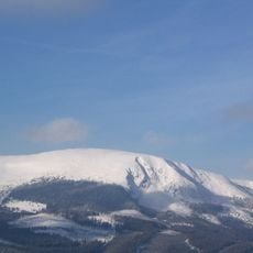
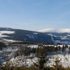
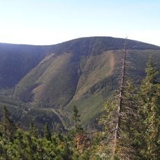
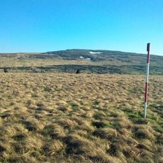
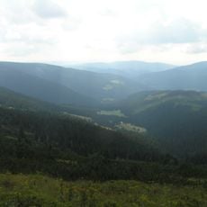
Zadní Planina (German: Plattenberg) is a summit in the central Krkonoše, about 4.5 km east of Špindlerův Mlýn and 6 km southwest of Sněžka. Its slopes fall gently to the west, east and south, while the north side drops steeply into the deeply cut Dlouhý důl valley. The summit lies in Krkonošský národní park and is covered with dwarf pine, with spruce forest lower down.
The summit lies on the main ridge of the Krkonoše, about 4.5 km east of Špindlerův Mlýn and 6 km southwest of Sněžka. Its slopes were settled from 1676, when the mountain meadow settlement Klínové Boudy was founded; the summit itself has no buildings and is closed to protect nature.
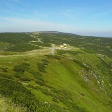
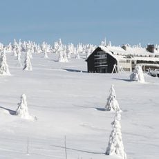
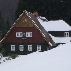
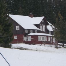
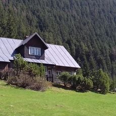
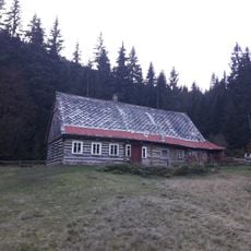
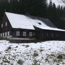
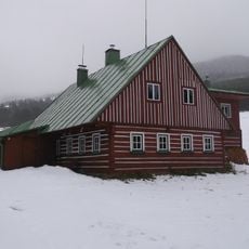
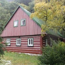
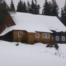
The name Plattenberg, German for "flat mountain", refers to the broad, gently sloping summit ridge. The chalets on the meadow clearings, Klínové boudy on the southwest slope, date back to 1676, when the scattered settlement was founded; mountain huts also stand near Zadní Rennerovky on the south slope.
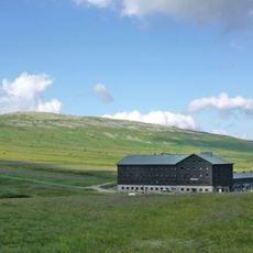
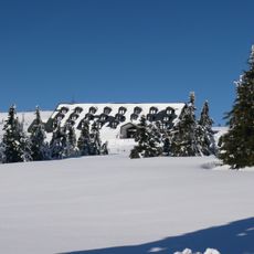
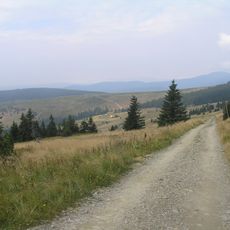
The summit itself is not accessible for nature protection; marked hiking trails and the Krkonošská magistrála ski route run only across the slopes at about 1350 m. On the Liščí hřeben saddle towards Luční hora stands Chata Výrovka, formerly Tannenbaude or Geiergucke, which has a restaurant. Further huts lie by the meadow clearings Klínové Boudy and Zadní Rennerovky.
The summit lies on the main ridge of the Krkonoše, about 4.5 km east of Špindlerův Mlýn and 6 km southwest of Sněžka, on the territory of Krkonošský národní park. Its slopes feed three streams: the Zelený potok flowing east to the Úpa, the Svatopetrský potok flowing north to the Labe, and the Klínový potok feeding the Malé Labe.
The community of curious travelers
AroundUs brings together thousands of curated places, local tips, and hidden gems, enriched daily by 92,677 contributors worldwide.