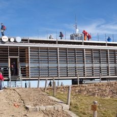
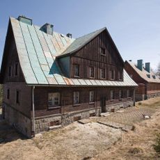
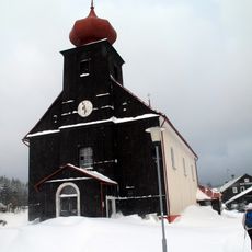
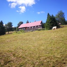
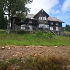
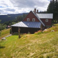
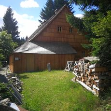
Przełęcz Sowia, Mountain pass between Wilcza Poręba and Malá Úpa, Poland and Czechia
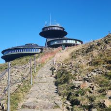
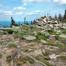
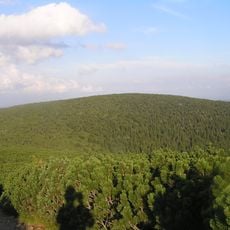
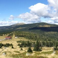
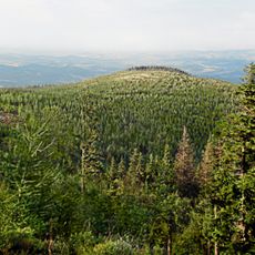
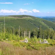
Eulenpass is a broad, shallow saddle at 1160 m in the eastern Giant Mountains, on the Polish-Czech border about 4 km southeast of Karpacz. It separates the Czarny Grzbiet (Obří hřeben) from the Kowarski Grzbiet (Střecha) and is covered by upper-montane spruce forest. Its only steep section is the northwest slope above the Sowia Dolina.
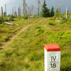
A border between political spheres has run along the main ridge here since 1526. After Silesia was separated from Austria and annexed by Prussia in 1748, smugglers carried hundredweight loads on wooden frames between the two markets. Mining for gemstones and metals, known since the 14th century, continued in the Eulengrund until the 1950s.
The name derives from German settlers: Soví sedlo and Przełęcz Sowia both translate the German Eulenpass, after the owls of the surrounding woods. Older German names for the wooded saddle were "Schwarze Drehe" and "Fichtiglehne". The pass lies in Karkonoski Park Narodowy and Krkonošský národní park, where walkers must stay on marked paths.
The pass lies within Karkonoski Park Narodowy in Poland and Krkonošský národní park in Czechia, so hikers must stay on the marked trails. Routes are colour-coded, including a red trail from Śnieżka toward Przełęcz Okraj and a black trail from Karpacz up to the saddle.
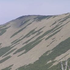
The pass sits on the watershed between the Elbe and Oder basins: the Płomnica on the north slope drains to the Baltic, while the Soví potok on the south side reaches the North Sea. The saddle also marks a geological boundary between the eastern main ridge and the Schmiedeberg ridge, whose gneiss, mica schist and green schist are cut by pegmatite, aplite and quartz veins.
The community of curious travelers
AroundUs brings together thousands of curated places, local tips, and hidden gems, enriched daily by 92,345 contributors worldwide.