Chest opened
+${chestReward.xp} XP
Explorer
NOUVEAU ×${chestReward.collectible.quantity}
tapez pour fermer

See the monuments around you in AR Open chests in the app

Around Us is built for your phone — point your camera at the streets and discover the monuments and places around you in augmented reality. Around Us is built for your phone — chests unlock when you walk, explore and capture nearby places.

Enable Location

We need your location to show you interesting places around you

Discover nearby places

Find interesting locations and hidden gems around you

Precise directions

Get accurate directions and distances to places

Your location is never shared with other users. It's only used when you tap the location button.

Log in to your account

Start exploring — it's free

Trusted by 85,225 travelers worldwide

Continue with Google
Continue with Apple
or

We will send you a code to connect

By continuing, you accept our Terms and Conditions and our Privacy Policy

Check your inbox

We've sent a pincode in your inbox. Please enter the code below.

Discussion Reviews Photo
1.7k Popularity

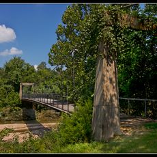
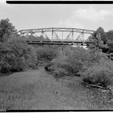
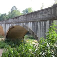
Zinc Swinging Bridge, Suspension footbridge in Zinc, Arkansas

The Zinc Swinging Bridge is a suspension footbridge that crosses Sugar Orchard Creek using metal cables and wooden planking to connect both banks. The structure relies on cable support anchored to sturdy foundations to safely span the water below.

Local miners built this bridge in 1927 following the Great Mississippi Flood that destroyed the previous crossing at this location. The community relied on this new connection to continue mining operations and maintain access to essential areas.

The bridge served as a lifeline for the mining community, connecting people and resources across the creek during the early 20th century. It reflects how local residents worked together to maintain their settlement despite the challenges of living in an isolated mining area.

The bridge is easily accessible on foot and provides a safe crossing for pedestrians over the creek. Visitors should be aware that the structure can be slippery during wet or icy conditions and walking slowly is recommended.

The structure underwent major reconstruction in 2015 after a pier collapse threatened its survival, yet the restoration preserved its historic character. This recovery work made it one of the few early mining-era bridges still standing in the region.

The community of curious travelers

AroundUs brings together thousands of curated places, local tips, and hidden gems, enriched daily by 60,000 contributors worldwide.
Start exploring
Location
GPS coordinates
36.28470,-92.91530
Latest update
August 30, 2026 18:04
Around this place
Dogpatch USA
United States of America

Dogpatch USA

17.3 mi
Bull Shoals Lake
United States of America

Bull Shoals Lake

19.8 mi
Ozark Medieval Fortress
United States of America

Ozark Medieval Fortress

13.2 mi
Bull Shoals-White River State Park
United States of America

Bull Shoals-White River State Park

19.3 mi
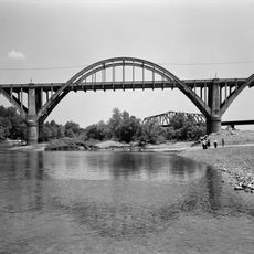
Cotter Bridge
United States of America

Cotter Bridge

20.7 mi
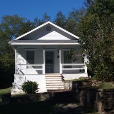
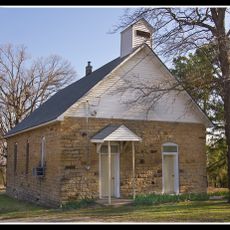
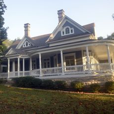
Elliott and Anna Barham House
United States of America

Elliott and Anna Barham House

370 ft
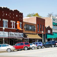
Harrison Courthouse Square Historic District
United States of America

Harrison Courthouse Square Historic District

11.4 mi
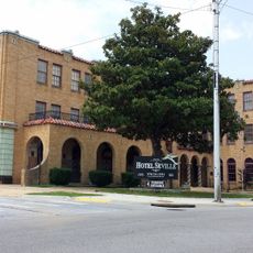
Hotel Seville
United States of America

Hotel Seville

11.3 mi
Cricket and Crest Tunnels
United States of America

Cricket and Crest Tunnels

18.9 mi
Haggard Ford Swinging Bridge
United States of America

Haggard Ford Swinging Bridge

12.7 mi
Boone County Courthouse
United States of America

Boone County Courthouse

11.4 mi
Henley Hotel
United States of America

Henley Hotel

18.7 mi
Hirst-Mathew Hall
United States of America

Hirst-Mathew Hall

12.4 mi
Buffalo River Bridge
United States of America

Buffalo River Bridge

19.8 mi
Pea Ridge School Building
United States of America

Pea Ridge School Building

15.8 mi
Crooked Creek Bridge
United States of America

Crooked Creek Bridge

4.7 mi
Cowdrey House
United States of America

Cowdrey House

13.8 mi
Layton Building
United States of America

Layton Building

13.6 mi
Fairview School Building
United States of America

Fairview School Building

17.6 mi
Aggie Workshop
United States of America

Aggie Workshop

12.4 mi
Harp Creek Bridge
United States of America

Harp Creek Bridge

18.7 mi
Grubb Springs School
United States of America

Grubb Springs School

13.8 mi
Everton School
United States of America

Everton School

9.1 mi
Evans-Kirby House
United States of America

Evans-Kirby House

11.7 mi
Marion County Courthouse
United States of America

Marion County Courthouse

13.6 mi
Eros School Building
United States of America

Eros School Building

7.9 mi
Carter-Jones House
United States of America

Carter-Jones House

13.5 mi
Pyatt School Building
United States of America

Pyatt School Building

4.8 mi
Show the full map
Reviews
Share your experience

No review yet

Discussions
Start a discussion...

No discussion yet

« Zinc Swinging Bridge - Suspension footbridge in Zinc, Arkansas » is provided by Around Us (aroundus.com). Images and texts are derived from Wikimedia project under a Creative Commons license. You are allowed to copy, distribute, and modify copies of this page, under the conditions set by the license, as long as this note is clearly visible.

Discover hidden gems everywhere you go!

From secret cafés to breathtaking viewpoints, skip the crowded tourist spots and find places that match your style. Our app makes it easy with voice search, smart filtering, route optimization, and insider tips from travelers worldwide. Download now for the complete mobile experience.
Around Us App Screenshot

A unique approach to discovering new places

Le Figaro

All the places worth exploring

France Info

A tailor-made excursion in just a few clicks

20 Minutes

Around Us
Travel Guide & Maps
Download

Send to your phone

QR Code
1

Open the camera app on your mobile.

2

Point at the QR code with your camera. A notification will appear.

3

Tap the notification to open the link.