Hamlin Park Historic District, Residential historic district in Buffalo, United States.
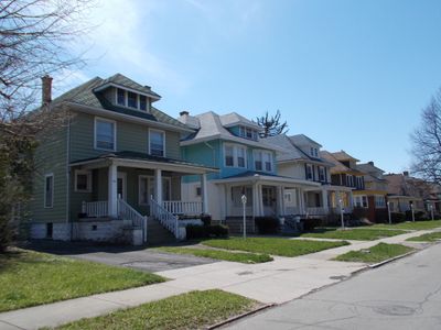
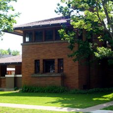
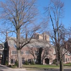
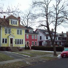
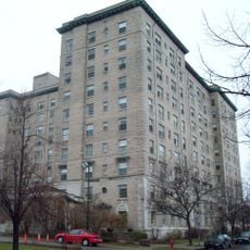
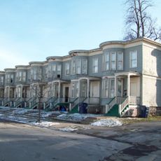
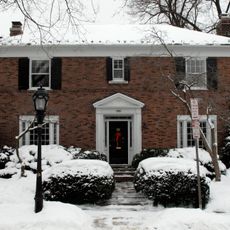
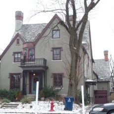
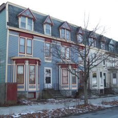
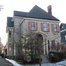
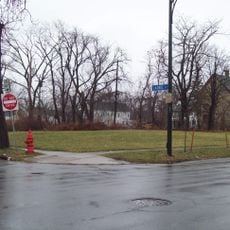
Hamlin Park Historic District is a residential neighborhood in Buffalo containing more than 1,300 buildings spread across 224 acres between Main Street and Jefferson Avenue. Most homes were built between 1895 and 1930 in pattern book and Craftsman architectural styles.
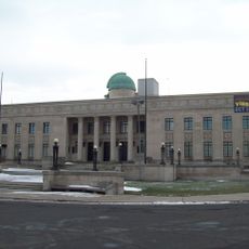
The area developed from the Buffalo Driving Park, founded in 1868 by Chauncey Hamlin as a recreational space. When the park closed, the land was converted into a residential neighborhood for middle-class families starting in the early 1900s.
The neighborhood was originally home to German and Jewish residents before becoming predominantly African American by the 1950s. These demographic transitions shaped the community bonds and local traditions that continue today.
The neighborhood is best explored on foot since the district is compact and the streets follow an organized grid pattern. Planning a walking route in advance between Main Street and Jefferson Avenue helps you see the residential variety without getting lost.
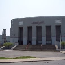
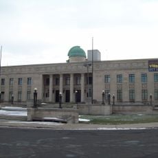
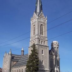
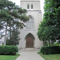
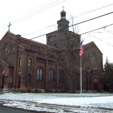
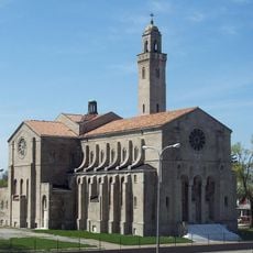
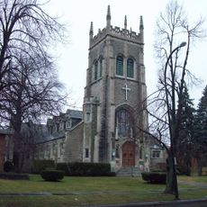
Several churches built in the early 1900s remain anchors of the neighborhood, including the 1906 Lutheran Church Home and the 1926 St Francis DeSales Roman Catholic Church. These religious buildings reveal architectural quality that extends beyond ordinary residential construction.
The community of curious travelers
AroundUs brings together thousands of curated places, local tips, and hidden gems, enriched daily by 60,000 contributors worldwide.