Chest opened
+${chestReward.xp} XP
Explorer
NOUVEAU ×${chestReward.collectible.quantity}
tapez pour fermer

See the monuments around you in AR Open chests in the app

Around Us is built for your phone — point your camera at the streets and discover the monuments and places around you in augmented reality. Around Us is built for your phone — chests unlock when you walk, explore and capture nearby places.

Enable Location

We need your location to show you interesting places around you

Discover nearby places

Find interesting locations and hidden gems around you

Precise directions

Get accurate directions and distances to places

Your location is never shared with other users. It's only used when you tap the location button.

Peters Mountain Wilderness

Log in to your account

Start exploring — it's free

Trusted by 83,998 travelers worldwide

Continue with Google
Continue with Apple
or

We will send you a code to connect

By continuing, you accept our Terms and Conditions and our Privacy Policy

Check your inbox

We've sent a pincode in your inbox. Please enter the code below.

Discussion Reviews 1 Photos
1.8k Popularity

Peters Mountain Wilderness, Protected wilderness area in Giles County, Virginia, US.

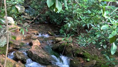
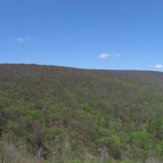
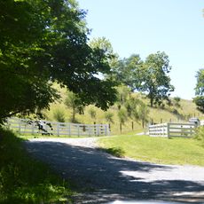
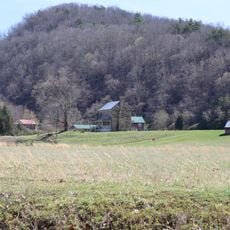
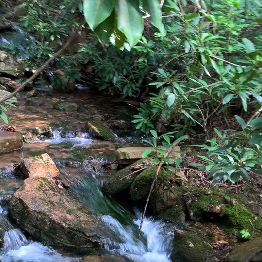
Peters Mountain Wilderness is a protected area in Giles County, Virginia that covers mountainous terrain with sandstone outcroppings, mountain bogs, and forests of oak and hickory trees. The landscape presents a mix of different habitats and geological features that shape the hiking experience.

The area takes its name from Peter Wright, an early settler who established himself near Covington in the mid-18th century and explored the surrounding mountains. Its designation as a wilderness area reflects later efforts to protect this landscape from development.

The Appalachian Trail passes through this wilderness and connects hikers to a broader network of mountain paths. This route is part of a long-standing hiking tradition that attracts people from around the world.

The National Geographic Trails Illustrated Map 787 provides detailed navigation information for the entire region and surrounding valleys. Good preparation with maps is important since the trails are remote and conditions change with the seasons.

The Peters Mountain Mallow, a rare plant, grows only in this area and relies on natural fires to trigger seed germination. This botanical feature makes the area significant for conservation and field research.

The community of curious travelers

AroundUs brings together thousands of curated places, local tips, and hidden gems, enriched daily by 60,000 contributors worldwide.

Start exploring
Location
Inception
1984
Operator
United States Forest Service
GPS coordinates
37.43267,-80.60527
Latest update
August 4, 2026 13:23
Around this place
Salt Pond Mountain
United States of America

Salt Pond Mountain

10.2 km
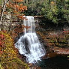
Cascades
United States of America

Cascades

7.2 km
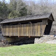
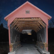
Indian Creek Covered Bridge
United States of America

Indian Creek Covered Bridge

13 km
Salt Sulphur Springs Historic District
United States of America

Salt Sulphur Springs Historic District

15.6 km
Laurel Creek Covered Bridge
United States of America

Laurel Creek Covered Bridge

14.4 km
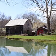
Cook's Mill
United States of America

Cook's Mill

14.4 km
Andrew Johnston House
United States of America

Andrew Johnston House

16.4 km
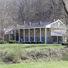
Doe Creek Farm
United States of America

Doe Creek Farm

11.9 km
Giles County Courthouse
United States of America

Giles County Courthouse

16.5 km
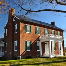
Wallace Estill, Sr., House
United States of America

Wallace Estill, Sr., House

10.6 km
United States of America

Pearisburg Historic District

16.5 km
United States of America

Mountain Lake Wilderness

12.6 km
United States of America

White Rock Recreation Area

10.1 km
United States of America

Mountain Lake Biological Station

10.3 km
United States of America

Martin Observatory

12.2 km
United States of America

Barneys Wall

7.6 km
United States of America

Bear Cliff

11.4 km
United States of America

Castle Rock Golf & Recreation

14.5 km
United States of America

Fountain Springs Golf Course

12.8 km
United States of America

Scenic viewpoint

7.7 km
United States of America

Scenic viewpoint

11.5 km
United States of America

Wind Rock Overlook

7.9 km
United States of America

Scenic viewpoint

14.1 km
United States of America

Bear Cliffs Overlook

11.2 km
United States of America

War Spur Overlook

11.3 km
United States of America

Bald Knob Overlook

11 km
United States of America

Barney's Wall Overlook

7.4 km
United States of America

Cascades

7.7 km
Show the full map
Reviews
Share your experience

No review yet

Discussions
Start a discussion...

No discussion yet

« Peters Mountain Wilderness - Protected wilderness area in Giles County, Virginia, US » is provided by Around Us (aroundus.com). Images and texts are derived from Wikimedia project under a Creative Commons license. You are allowed to copy, distribute, and modify copies of this page, under the conditions set by the license, as long as this note is clearly visible.

Discover hidden gems everywhere you go!

From secret cafés to breathtaking viewpoints, skip the crowded tourist spots and find places that match your style. Our app makes it easy with voice search, smart filtering, route optimization, and insider tips from travelers worldwide. Download now for the complete mobile experience.

Around Us App Screenshot

A unique approach to discovering new places

Le Figaro

All the places worth exploring

France Info

A tailor-made excursion in just a few clicks

20 Minutes

Around Us
Travel Guide & Maps
Download

Send to your phone

QR Code
1

Open the camera app on your mobile.

2

Point at the QR code with your camera. A notification will appear.

3

Tap the notification to open the link.