Enable Location

We need your location to show you interesting places around you

Discover nearby places

Find interesting locations and hidden gems around you

Precise directions

Get accurate directions and distances to places

Your location is never shared with other users. It's only used when you tap the location button.

Log in to your account

Start exploring — it's free

Trusted by 63,122 travelers worldwide

Continue with Google
Continue with Apple
or

We will send you a code to connect

By continuing, you accept our Terms and Conditions and our Privacy Policy

Check your inbox

We've sent a pincode in your inbox. Please enter the code below.

Mollie Beattie State Forest
Discussion Reviews Photo
1.2k Popularity

Mollie Beattie State Forest, State forest in Grafton, United States.

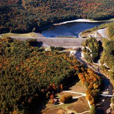
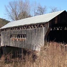
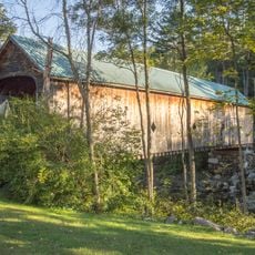
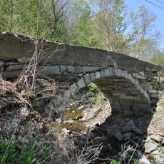
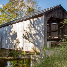
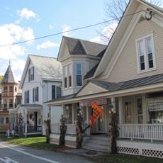
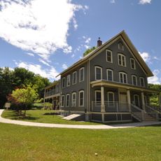
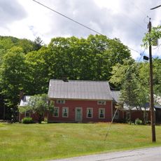
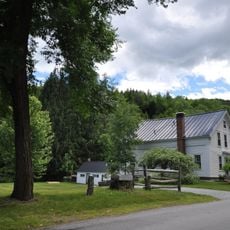
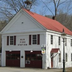
Mollie Beattie State Forest is a state forest in Grafton with approximately 203 acres of mixed woodlands and tree plantations throughout the property. The forest features walking trails, access roads, and several historical sites that visitors can explore.

The forest was named after Mollie Beattie, who served as the first female director of the United States Fish and Wildlife Service from 1993 to 1996. Her leadership during those years shaped conservation policy during an important transition period.

The forest is used by the Grafton Outing Club, which maintains a shelter that serves as a gathering place during winter months. This facility brings together people who enjoy spending time outdoors together.

The forest can be accessed via Hinkley Brook Road, with designated areas available for primitive camping throughout the year. Seasonal activities like snowshoeing are popular during winter months when conditions allow.

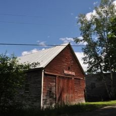
The forest contains a restored ranger station that was originally built by the Civilian Conservation Corps during its work in the region. This structure shows the craftsmanship and effort that this historical organization invested in forest protection.

The community of curious travelers

AroundUs brings together thousands of curated places, local tips, and hidden gems, enriched daily by 60,000 contributors worldwide.

Start exploring
Location
GPS coordinates
43.16280,-72.64030
Latest update
December 14, 2025 18:46
Around this place
Bartonsville Covered Bridge
United States of America

Bartonsville Covered Bridge

10.8 km
Rockingham Meeting House
United States of America

Rockingham Meeting House

12.8 km
Jamaica State Park
United States of America

Jamaica State Park

12.5 km
Stone Village Historic District
United States of America

Stone Village Historic District

12.9 km
Townshend Dam
United States of America

Townshend Dam

13.3 km
Worrall Covered Bridge
United States of America

Worrall Covered Bridge

10.1 km
Hall Covered Bridge
United States of America

Hall Covered Bridge

12.7 km
Greenwood House
United States of America

Greenwood House

11.4 km
Park Farm
United States of America

Park Farm

3.3 km
West Townshend Stone Arch Bridge
United States of America

West Townshend Stone Arch Bridge

10.4 km
Kidder Covered Bridge
United States of America

Kidder Covered Bridge

2.9 km
Jeffrey House
United States of America

Jeffrey House

13.4 km
Chester Village Historic District
United States of America

Chester Village Historic District

11.8 km
First Congregational Church and Meetinghouse
United States of America

First Congregational Church and Meetinghouse

13.1 km
Old Brick Church
United States of America

Old Brick Church

6.7 km
Windham Village Historic District
United States of America

Windham Village Historic District

7.2 km
Grafton Public Library
United States of America

Grafton Public Library

3 km
Middletown Rural Historic District
United States of America

Middletown Rural Historic District

3.1 km
Grafton Village Historic District
United States of America

Grafton Village Historic District

2.9 km
Rockingham Village Historic District
United States of America

Rockingham Village Historic District

12.6 km
Augustus and Laura Blaisdell House
United States of America

Augustus and Laura Blaisdell House

12.3 km
Houghtonville Historic District
United States of America

Houghtonville Historic District

3.9 km
Mechanicsville Historic District
United States of America

Mechanicsville Historic District

3.4 km
Simpsonville Stone Arch Bridge
United States of America

Simpsonville Stone Arch Bridge

10.4 km
Grafton District Schoolhouse No. 2
United States of America

Grafton District Schoolhouse No. 2

3 km
Simons' Inn
United States of America

Simons' Inn

12.3 km
Milldean and Alexander-Davis House
United States of America

Milldean and Alexander-Davis House

2.8 km
South Windham Village Historic District
United States of America

South Windham Village Historic District

7 km
Show the full map
Reviews
Share your experience

No review yet

Discussions
Start a discussion...

No discussion yet

« Mollie Beattie State Forest - State forest in Grafton, United States » is provided by Around Us (aroundus.com). Images and texts are derived from Wikimedia project under a Creative Commons license. You are allowed to copy, distribute, and modify copies of this page, under the conditions set by the license, as long as this note is clearly visible.

Discover hidden gems everywhere you go!

From secret cafés to breathtaking viewpoints, skip the crowded tourist spots and find places that match your style. Our app makes it easy with voice search, smart filtering, route optimization, and insider tips from travelers worldwide. Download now for the complete mobile experience.

Around Us App Screenshot

A unique approach to discovering new places

Le Figaro

All the places worth exploring

France Info

A tailor-made excursion in just a few clicks

20 Minutes

Around Us
Travel Guide & Maps
Download

Send to your phone

QR Code
1

Open the camera app on your mobile.

2

Point at the QR code with your camera. A notification will appear.

3

Tap the notification to open the link.