
Diadibeny Gandega, commune and village in Mauritania
Location: M'Bout Department
Location: Gorgol Region
GPS coordinates: 15.74929,-12.48163
Latest update: May 19, 2025 14:27

Senegambian stone circles
399.6 km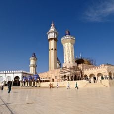
Great Mosque of Touba
376.5 km
Niokolo-Koba National Park
311.7 km
River Gambia National Park
355.5 km
MacCarthy Island
348.4 km
Gouina Falls
243.5 km
Bassari Country
353.5 km
Badiar National Park
360.2 km
Félou Falls
197.4 km
Lake Manantali
369.2 km
Talari Gorges
272.9 km
Cercles de pierres de Wassu
343.7 km
Deer Island (Gambia)
357.2 km
Isla Sepu
354.9 km
Tata of Koniakary
214.1 km
Isla Brikama
360.2 km
Bird Island
347.5 km
Eisenbahnbrücke von Kidira
146.5 km
Cercles de pierres de Kerbatch
359.1 km
Sankulay Kunda Bridge
349 km
Straßenbrücke von Kidira
147.1 km
Isla Pangon
347.9 km
Isla Pasari
285.6 km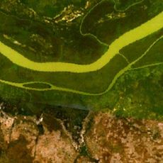
Isla Ba Faraba
372.3 km
Mimang Island
357.2 km
Fort de Médine
194.1 km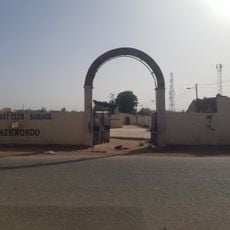
Stade Bassi Coulibaly
183.9 km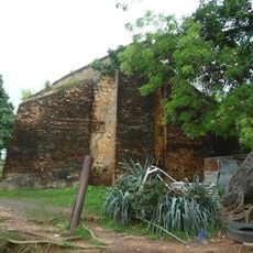
Slave House
347.4 kmVisited this place? Tap the stars to rate it and share your experience / photos with the community! Try now! You can cancel it anytime.
Discover hidden gems everywhere you go!
From secret cafés to breathtaking viewpoints, skip the crowded tourist spots and find places that match your style. Our app makes it easy with voice search, smart filtering, route optimization, and insider tips from travelers worldwide. Download now for the complete mobile experience.

A unique approach to discovering new places❞
— Le Figaro
All the places worth exploring❞
— France Info
A tailor-made excursion in just a few clicks❞
— 20 Minutes