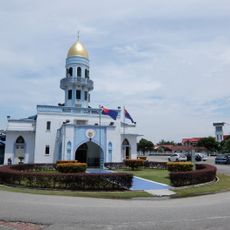
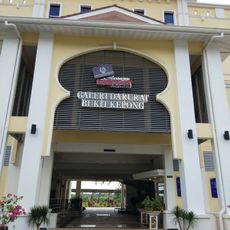
Batu Pahat, human settlement in Malaysia
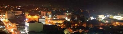
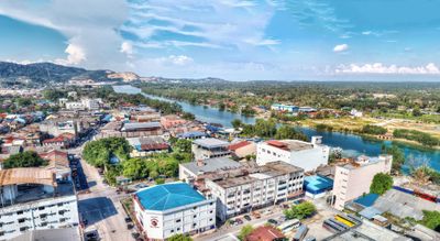
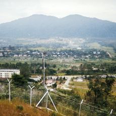
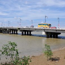
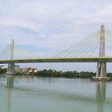
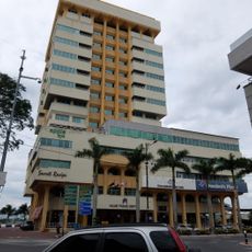
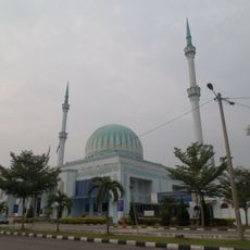
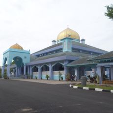
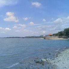
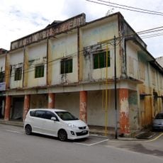
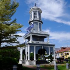
Batu Pahat is a town in Batu Pahat District, Johor, Malaysia, sitting on flat land near the mouth of the Batu Pahat River along the west coast of the peninsula. It has a compact center with rows of old shophouses, newer commercial blocks, and residential streets, all surrounded by oil palm plantations and farmland.
The settlement grew from a trading post at the river mouth, where boats carried goods between the interior and the coast. During the 19th and early 20th centuries, waves of traders and migrants helped it grow into a regional center for the surrounding farming districts.
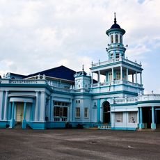
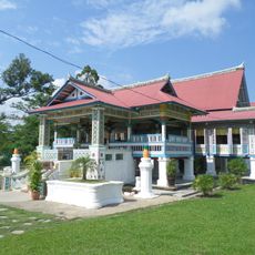
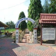
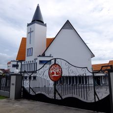
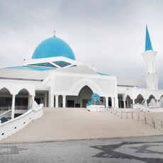
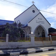
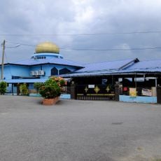
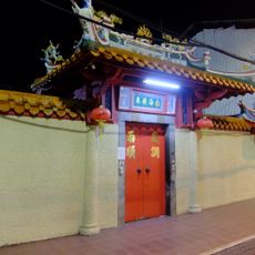
Batu Pahat has a strong Hokkien Chinese community that has shaped the town's food stalls, temples, and daily street life over generations. Walking through the older shophouse streets, visitors notice the mix of Malay and Chinese signage, smells from open-air kitchens, and the rhythm of a market town going about its day.
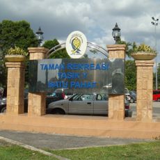
The town center is flat and easy to walk around, with markets and shops gathered in a compact central area that is simple to navigate on foot. The outer parts of the town and surrounding rural areas are better covered by vehicle, as distances spread out quickly beyond the center.
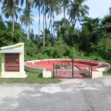
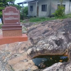
The name Batu Pahat means "chiseled rock" in Malay and refers to a large stone that once marked the riverbank and served as a reference point for boats navigating the waterway. That rock is said to have disappeared over time through erosion, yet its name has stayed with the town ever since.
The community of curious travelers
AroundUs brings together thousands of curated places, local tips, and hidden gems, enriched daily by 60,000 contributors worldwide.