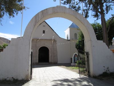
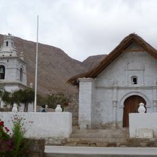
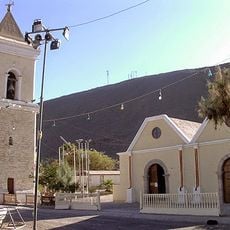
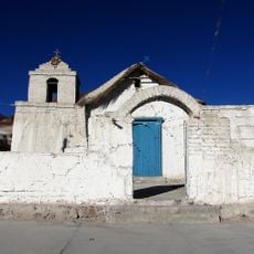
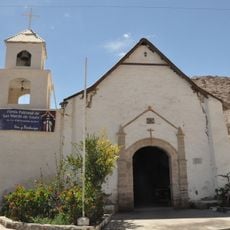
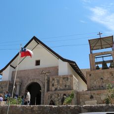
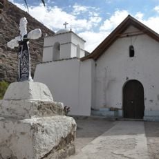
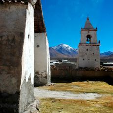
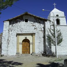
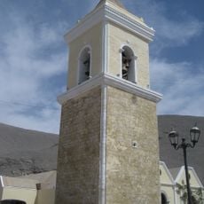
Camiña, Andean village in Tamarugal Province, Chile
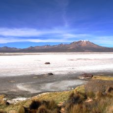
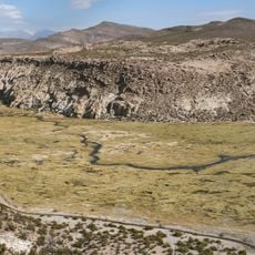
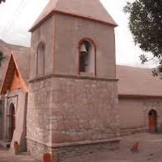
Camiña is a village in Tamarugal Province in northern Chile's Tarapacá Region, situated in a high-altitude valley surrounded by varied terrain. The municipality consists of several small settlements spread across the mountainous landscape.
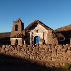
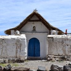
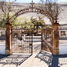
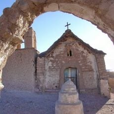
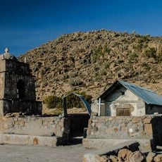
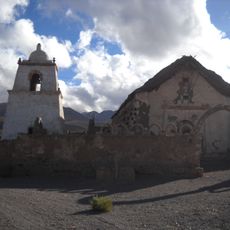
The area has been inhabited since pre-Columbian times and was home to Aymara communities long before Spanish arrival. The settlement evolved under different periods of rule that shaped its development over centuries.
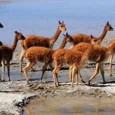
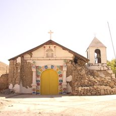
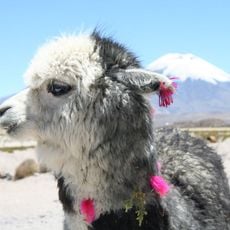
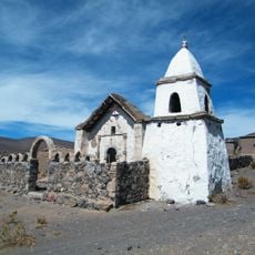
The local population speaks Aymara and follows traditions that shape daily life in the villages and surrounding areas. You can see these customs reflected in how people interact with their land and each other throughout the region.
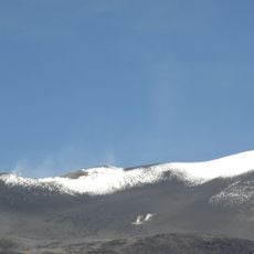
The location sits at high altitude, so visitors should allow time to adjust and bring warm clothing for cool nights. The area is connected by small roads, so having your own transportation helps to explore the different settlements comfortably.
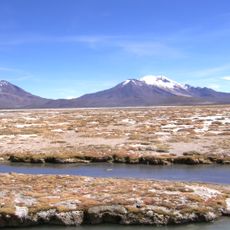
Natural hot springs flow in the area with water warm enough for bathing even at high elevation. These thermal sources offer a rare opportunity to relax in this otherwise dry and cold mountain region.
Location: Tamarugal Province
Location: Tarapacá Region
Elevation above the sea: 2,800 m
GPS coordinates: -19.30000,-69.41667
Latest update: December 8, 2025 13:44
Salar de Surire
64.6 km
Volcán Isluga National Park
33.1 km
Isluga
63.9 km
Salar de Surire Natural Monument
66.6 km
Arintica
72.9 km
Iglesia de Mulluri
41.3 km
Iglesia de Camiña
1.8 km
Capilla de Nama
12.3 km
Iglesia de Guañacagua
61.7 km
Cementerio de los Ingleses en Hacienda Tiliviche
62.1 km
Capilla de Mocha
59 km
Iglesia de San Lorenzo, San Lorenzo de Tarapacá
70.1 km
Iglesia de Nama
12.3 km
Iglesia de Parcohailla
51.7 km
Iglesia de San Martín de Tours, Codpa
62.3 km
Arabilla
58.6 km
Iglesia de Sibaya
59.5 km
Iglesia de Tulapalca
59.7 km
Iglesia de Caraguano
64.7 km
Iglesia de San Juan de Huaviña
58.7 km
Iglesia de Nuestra Señora de la Candelaria
38.2 km
Iglesia de San Juan Bautista, Timar
67.7 km
Pueblo de Tarapacá
70.2 km
Polloquere Hot Springs
61.5 km
Pueblo de Isluga
73.1 km
Iglesia de Mauque
56.3 km
Iglesia de Nuestra Señora de la Candelaria de Sotoca
38.2 km
Iglesia y campanario de San Lorenzo de Tarapacá
70.2 kmVisited this place? Tap the stars to rate it and share your experience / photos with the community! Try now! You can cancel it anytime.
Discover hidden gems everywhere you go!
From secret cafés to breathtaking viewpoints, skip the crowded tourist spots and find places that match your style. Our app makes it easy with voice search, smart filtering, route optimization, and insider tips from travelers worldwide. Download now for the complete mobile experience.
A unique approach to discovering new places❞
— Le Figaro
All the places worth exploring❞
— France Info
A tailor-made excursion in just a few clicks❞
— 20 Minutes