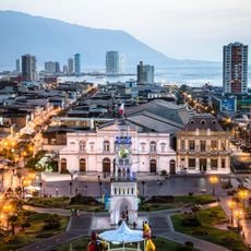
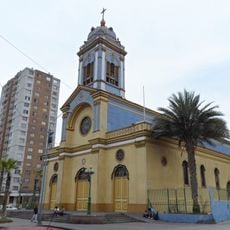
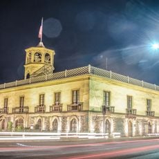
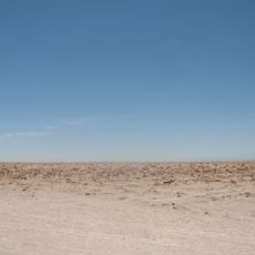
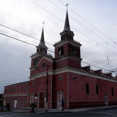
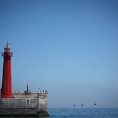
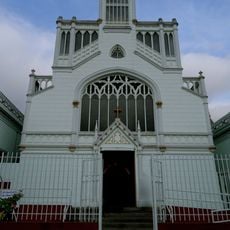
Salar del Soronal, Salt flat in Tarapacá Region, Chile.
Salar del Soronal is a salt flat in a basin of the Cordillera de la Costa, about 10 km west of Cerro Mono and southeast of Iquique. Low hills border it to the east and higher ones to the west, including Cerro Soronal at 1,000 m. In the south, a spring-fed aguada supports sorona (Tessaria absinthioides) and grama salada (Distichlis sp.).
The location was documented in 1924 by Luis Risopatron in his Geographic Dictionary of Chile, where it was noted for its saltpeter deposits of commercial importance. This early record shows the site had been recognized as part of the region's resource landscape for some time.
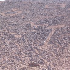
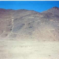
Geoglyphs on the western slope of Cerro San Luis, at the southeastern edge of the salt flat, depict figures and lines. The flat served as a port of exchange between coastal fishermen and caravanners from inland oases such as Pica and the Pampa del Tamarugal. Trails, cemeteries and camps with anthropogenic deposits covering up to 5,000 square metres lie nearby.
Visitors should arrange a four-wheel-drive vehicle and bring plenty of water and sun protection, as the location is remote and exposed to intense heat. Advance planning and local guidance are essential for a safe visit to this area.
The mineral deposits create multicolored patterns across the surface that change appearance depending on sunlight and moisture levels. These visual shifts make the landscape look different depending on the time of day and weather conditions during your visit.
The community of curious travelers
AroundUs brings together thousands of curated places, local tips, and hidden gems, enriched daily by 94,672 contributors worldwide.