
Azángaro District, district in Lima, Peru
Location: Yauyos Province
Elevation above the sea: 3,465 m
Shares border with: San Pedro de Huacarpana District, Chavín District, Chocos District, Huangascar District, Madean District
GPS coordinates: -12.99996,-75.83690
Latest update: March 22, 2025 09:46
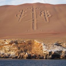
Paracas Candelabra
102.1 km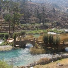
Nor Yauyos-Cochas Landscape Reserve
107.4 km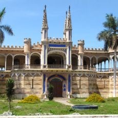
Palacio Unanue
60.3 km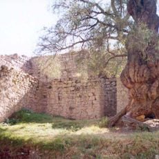
Wari Willka
119.8 km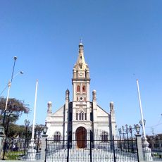
Santuario del Señor de Luren
119.8 km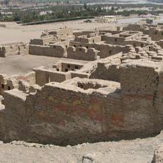
Tambo Colorado
78.5 km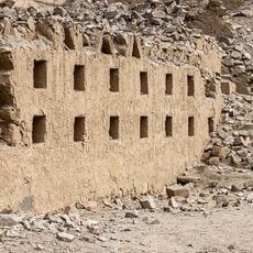
Inka Wasi
36.7 km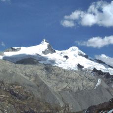
Pariacaca
113.4 km
Lake Choclococha
85.6 km
Museo Regional de Ica
119.9 km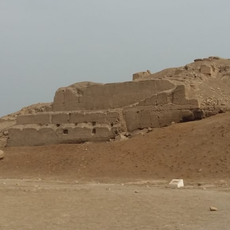
La Centinela
61.9 km
Inka Wasi, Huancavelica
90.1 km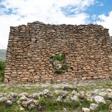
Arwaturo
116.9 km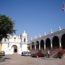
Hacienda San José
62.7 km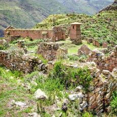
Pueblo Antiguo de Huaquis
80.4 km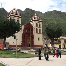
St. Anthony Cathedral, Huancavelica
96.7 km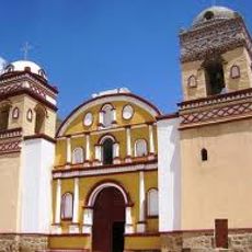
Iglesia de San Juan Bautista, Huaytara
85.3 km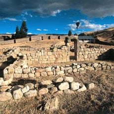
Uchkus Inkañan
109.7 km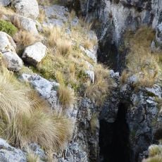
Sima Pumacocha
69.4 km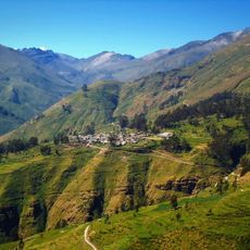
Ticlla
83.3 km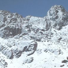
Wamp'una
65.6 km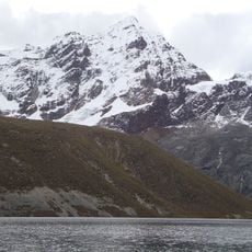
Llongote
75.6 km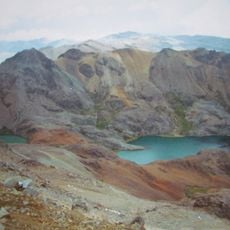
Sukullu
51.6 km
Huayna Cotoni
83.1 km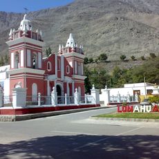
Iglesia de Lunahuana
33.1 km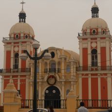
Iglesia de Nuestra Señora de la Asunción de Chilca
111.6 km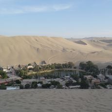
Huacachina Lagoon
121.4 km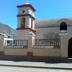
Iglesia de Calango
93.1 kmReviews
Visited this place? Tap the stars to rate it and share your experience / photos with the community! Try now! You can cancel it anytime.
Discover hidden gems everywhere you go!
From secret cafés to breathtaking viewpoints, skip the crowded tourist spots and find places that match your style. Our app makes it easy with voice search, smart filtering, route optimization, and insider tips from travelers worldwide. Download now for the complete mobile experience.

A unique approach to discovering new places❞
— Le Figaro
All the places worth exploring❞
— France Info
A tailor-made excursion in just a few clicks❞
— 20 Minutes