San Vicente de Cañete, Agricultural provincial capital in Lima Region, Peru
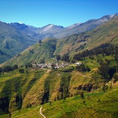
San Vicente de Cañete is a provincial city in the Lima Region that spreads across a fertile valley at an elevation of about 40 meters. The urban area blends residential zones with agricultural fields that shape the landscape and economic character of the place.
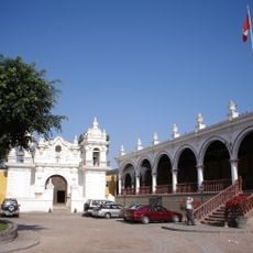
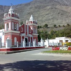
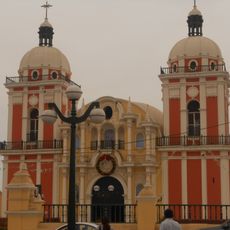
Spanish colonial authorities founded the settlement in 1556, drawn by the valley's agricultural potential and its position along important trade routes. Over the centuries, it developed into a significant trading hub that shaped regional commerce and farming practices.
The city serves as a center for Afro-Peruvian traditions, where descendants of African populations shape local music, dance, and food. These influences appear in community celebrations and how people gather and enjoy time together.
The city sits along the Pan-American Highway, making it straightforward to reach and offering connections to Lima and destinations farther south. Regular bus services link this place with neighboring towns, simplifying travel within and around the area.
The agriculture here focuses on cotton fields and fruit orchards that supply markets across the country and sustain the local economy. This farming diversity makes the area an important production zone that visitors often overlook.
The community of curious travelers
AroundUs brings together thousands of curated places, local tips, and hidden gems, enriched daily by 60,000 contributors worldwide.