Enable Location

We need your location to show you interesting places around you

Discover nearby places

Find interesting locations and hidden gems around you

Precise directions

Get accurate directions and distances to places

Your location is never shared with other users. It's only used when you tap the location button.

Imperial District

Log in to your account

Start exploring — it's free

Trusted by 61,523 travelers worldwide

Continue with Google
Continue with Apple
or

We will send you a code to connect

By continuing, you accept our Terms and Conditions and our Privacy Policy

Check your inbox

We've sent a pincode in your inbox. Please enter the code below.

Imperial District

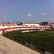
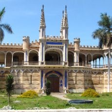
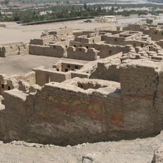
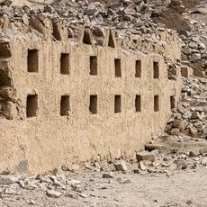
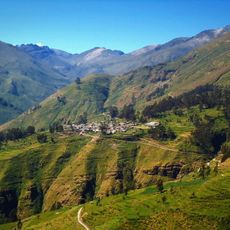
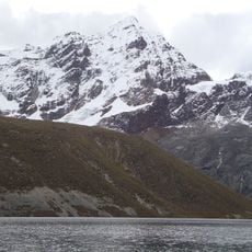
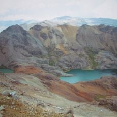
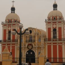
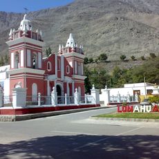
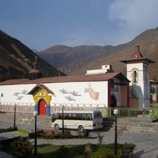
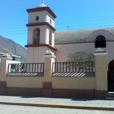
Imperial District, Administrative district in Cañete Province, Peru.

Description

Imperial District is an administrative area in Cañete Province that spans a region with low elevation and includes several communities. The territory is structured around a network of towns and settlements linked by local connections.

History

The district was formally established in the early 1900s as an administrative division within Cañete Province. This founding created the framework for local governance and organization that continues to shape how the area is managed.

Culture

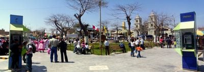
Local markets show how residents gather to buy fresh produce and handmade goods that reflect daily life in the area. These busy gathering spots reveal strong community bonds and local traditions through the way people interact and conduct business.

Practical

The best way to explore the area is through local roads that connect different neighborhoods and settlements throughout the district. Planning time to visit local markets and community centers helps you get a fuller sense of how people live here.

Did you know?

The area hosts a dense concentration of residents living close together and forming active communities. This high population density sets it apart from other parts of the province and shapes daily social interactions in distinctive ways.

Location
Elevation above the sea
85 m
Shares border with
Quilmaná District, Nuevo Imperial District, San Vicente de Cañete District, San Luis, Cerro Azul District
GPS coordinates
-13.06103,-76.35292
Latest update
December 7, 2025 20:49

AroundUs brings together thousands of curated places, local tips, and hidden gems, enriched daily by 60,000 contributors worldwide. Discover all places nearby (Cañete Province).

« Imperial District - Administrative district in Cañete Province, Peru » is provided by Around Us (aroundus.com). Images and texts are derived from Wikimedia project under a Creative Commons license. You are allowed to copy, distribute, and modify copies of this page, under the conditions set by the license, as long as this note is clearly visible.

Discover hidden gems everywhere you go!

From secret cafés to breathtaking viewpoints, skip the crowded tourist spots and find places that match your style. Our app makes it easy with voice search, smart filtering, route optimization, and insider tips from travelers worldwide. Download now for the complete mobile experience.

Around Us App Screenshot

A unique approach to discovering new places

Le Figaro

All the places worth exploring

France Info

A tailor-made excursion in just a few clicks

20 Minutes

Around Us
Travel Guide & Maps
Download

Send to your phone

QR Code
1

Open the camera app on your mobile.

2

Point at the QR code with your camera. A notification will appear.

3

Tap the notification to open the link.