Enable Location

We need your location to show you interesting places around you

Discover nearby places

Find interesting locations and hidden gems around you

Precise directions

Get accurate directions and distances to places

Your location is never shared with other users. It's only used when you tap the location button.

San Vicente de Cañete District

Log in to your account

Start exploring — it's free

Trusted by 61,525 travelers worldwide

Continue with Google
Continue with Apple
or

We will send you a code to connect

By continuing, you accept our Terms and Conditions and our Privacy Policy

Check your inbox

We've sent a pincode in your inbox. Please enter the code below.

San Vicente de Cañete District

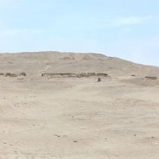
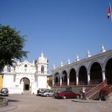
San Vicente de Cañete District, Administrative district in Lima Region, Peru

Description

San Vicente de Cañete is an administrative district located in Cañete Province in Lima Region. The terrain includes coastal agricultural lands with settlements spread across the area and direct access to the main highway corridor.

History

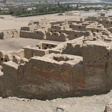
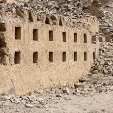
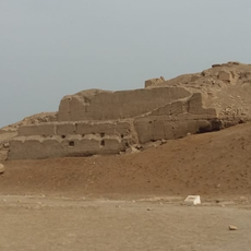
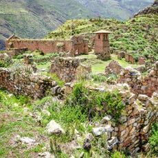
This territory was originally inhabited by the Huarcos people before Spanish arrival during the colonial period. Spanish colonization brought African populations to work agricultural lands, fundamentally changing the region's demographic makeup.

Culture

This district has been a center of African heritage since colonial times, and these roots remain visible in how locals make music and dance today. People here keep their traditions alive through celebrations and gatherings that shape the rhythm of community life.

Practical

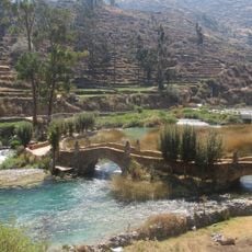
The district sits directly on the Pan-American Highway, making it easy to reach for travelers moving between Lima and destinations further south. The dry season offers the best conditions for exploring the area and its surrounding regions.

Did you know?

Farmers in this district still grow cotton, sugar cane, and grapes using methods passed down through generations. These traditional growing practices remain part of daily work life and connect residents to their agricultural past.

Location
Capital city
San Vicente de Cañete
Elevation above the sea
38 m
Shares border with
Pueblo Nuevo District, Grocio Prado District, San Luis, Imperial District, Nuevo Imperial District, Lunahuaná District
GPS coordinates
-13.07774,-76.38741
Latest update
December 8, 2025 13:42

AroundUs brings together thousands of curated places, local tips, and hidden gems, enriched daily by 60,000 contributors worldwide. Discover all places nearby (Cañete Province).

« San Vicente de Cañete District - Administrative district in Lima Region, Peru » is provided by Around Us (aroundus.com). Images and texts are derived from Wikimedia project under a Creative Commons license. You are allowed to copy, distribute, and modify copies of this page, under the conditions set by the license, as long as this note is clearly visible.

Discover hidden gems everywhere you go!

From secret cafés to breathtaking viewpoints, skip the crowded tourist spots and find places that match your style. Our app makes it easy with voice search, smart filtering, route optimization, and insider tips from travelers worldwide. Download now for the complete mobile experience.

Around Us App Screenshot

A unique approach to discovering new places

Le Figaro

All the places worth exploring

France Info

A tailor-made excursion in just a few clicks

20 Minutes

Around Us
Travel Guide & Maps
Download

Send to your phone

QR Code
1

Open the camera app on your mobile.

2

Point at the QR code with your camera. A notification will appear.

3

Tap the notification to open the link.