
Congalla District, district in Huancavelica, Peru
Location: Angaraes Province
Elevation above the sea: 3,523 m
Website: http://www.municongalla.gob.pe/
Shares border with: Acobamba District, Pomacocha District, Caja District, Julcamarca District, Secclla District, Huanca-Huanca District
Website: http://municongalla.gob.pe
GPS coordinates: -12.95602,-74.49226
Latest update: March 10, 2025 19:01
Pampas de Ayacucho Historical Sanctuary
40.4 km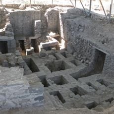
Wari archaeological complex
34.4 km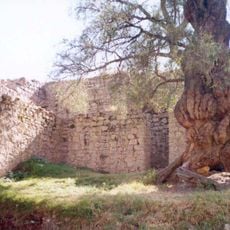
Wari Willka
121.4 km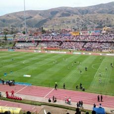
Estadio Huancayo
125 km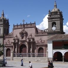
Ayacucho Cathedral
36.9 km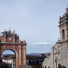
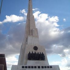
Arco de Triunfo de Ayacucho
36.9 km
Titankayuq
86.7 km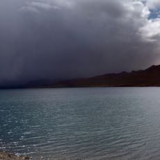
Lake Choclococha
66.6 km
Torre Torre
124.7 km
Inka Wasi, Huancavelica
107.1 km
Inti Watana, Ayacucho
88.4 km
Sanctuary of Our Lady of Cocharcas
109.3 km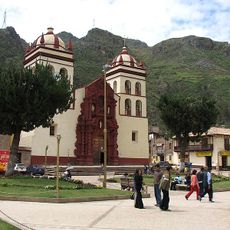
St. Anthony Cathedral, Huancavelica
55.4 km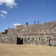
Usnu, Ayacucho
97 km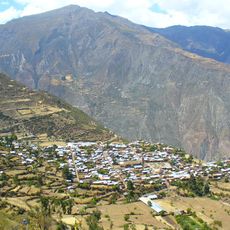
Millka
81.7 km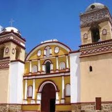
Iglesia de San Juan Bautista, Huaytara
118.1 km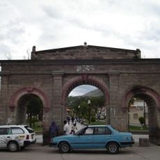
Alameda Valdelirios
37.3 km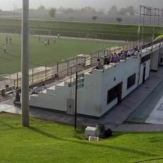
Estadio Municipal de Huanta
27.2 km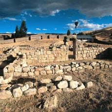
Uchkus Inkañan
47 km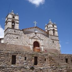
Iglesia San Juan Bautista de Vilcashuamán
97.2 km
Museo de la Memoria "Para que no se repita"
36.1 km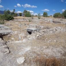
Marayniyuq
31.7 km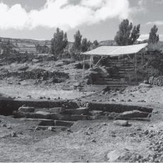
Campanayuq Rumi
97.8 km
Kunturkunka
42.8 km
Museo de Sitio de Wari
34 km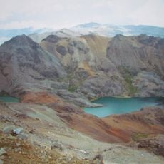
Sukullu
94.3 km
Tawlli Urqu
86.5 km
Museo de sitio de Quinua
39.7 kmReviews
Visited this place? Tap the stars to rate it and share your experience / photos with the community! Try now! You can cancel it anytime.
Discover hidden gems everywhere you go!
From secret cafés to breathtaking viewpoints, skip the crowded tourist spots and find places that match your style. Our app makes it easy with voice search, smart filtering, route optimization, and insider tips from travelers worldwide. Download now for the complete mobile experience.

A unique approach to discovering new places❞
— Le Figaro
All the places worth exploring❞
— France Info
A tailor-made excursion in just a few clicks❞
— 20 Minutes