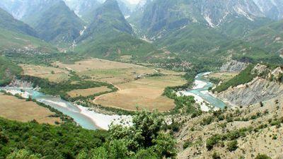
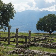
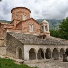
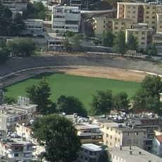
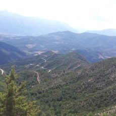
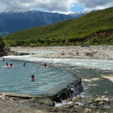
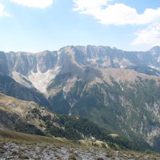
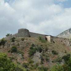
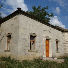
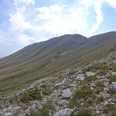
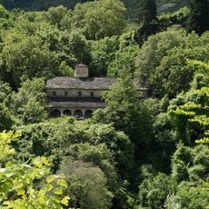
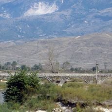
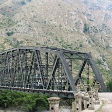
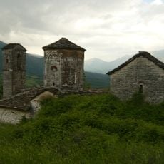
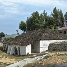
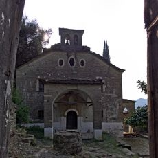
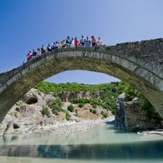
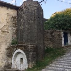
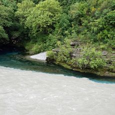
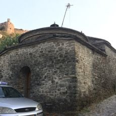
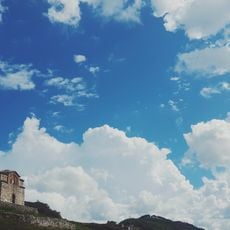
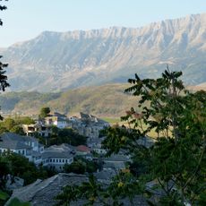
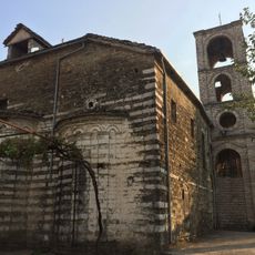
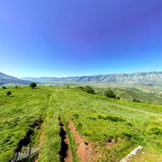
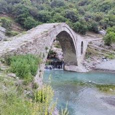
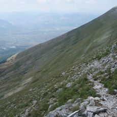
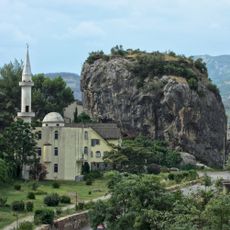
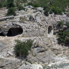
Përmet municipality, municipality in Albania
Location: Gjirokastër County
Capital city: Përmet
Elevation above the sea: 252 m
Shares border with: Skrapar, Kolonjë, Korçë, Dropull municipality, Libohovë municipality, Këlcyrë municipality, Greece
GPS coordinates: 40.23333,20.35000
Latest update: March 12, 2025 09:14
Vjosa Wild River National Park
29 km
Antigonea Archaeological Park
19.3 km
Church of the Dormition of the Theotokos, Labovë e Kryqit
18.5 km
Subi Bakiri Stadium
24.7 km
National Park - Fir of Hotova
9.4 km
Hot springs of Bënjë
7.1 km
Maja e Papingut
14 km
Libohovë Castle
23.6 km
Teqe of Frashër
15.6 km
Mount Dhëmbel
4.9 km
St Mary's Church (Leusa)
1.6 km
Kordhocë bridge
24.4 km
Dragoti Bridge
23.9 km
Holy Transfiguration Monastery Church, Çatistë
23 km
St. Paraskevi's Church, Përmet
462 m
Church of Mary (Bënjë, Përmet)
6 km
Ura e Kadiut
7.1 km
Meçite Mosque, Gjirokastër
24.9 km
Uji i Zi
16.3 km
Meçite Hamam, Gjirokastër
24.9 km
Shën Triadha Castle
21.7 km
Glissement de terrain de Këllez
16.7 km
Saint Sotir Church, Gjirokastër
24.8 km
Archaeological Park of Antigonea
19.5 km
Thermal Water
7.5 km
Zagoria Nature Park
13.7 km
The City Stone of Përmet
375 m
Shpella e Benjës
7.1 kmReviews
Visited this place? Tap the stars to rate it and share your experience / photos with the community! Try now! You can cancel it anytime.
Discover hidden gems everywhere you go!
From secret cafés to breathtaking viewpoints, skip the crowded tourist spots and find places that match your style. Our app makes it easy with voice search, smart filtering, route optimization, and insider tips from travelers worldwide. Download now for the complete mobile experience.
A unique approach to discovering new places❞
— Le Figaro
All the places worth exploring❞
— France Info
A tailor-made excursion in just a few clicks❞
— 20 Minutes