
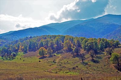
Kalavan, village in Gegharkunik Province of Armenia
Location: Gegharkunik Province
Elevation above the sea: 1,600 m
GPS coordinates: 40.65000,45.11667
Latest update: March 15, 2025 06:04

Goshavank
13.4 km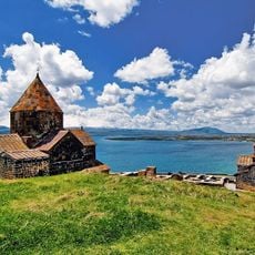
Sevanavank
13.1 km
Dilijan National Park
15.2 km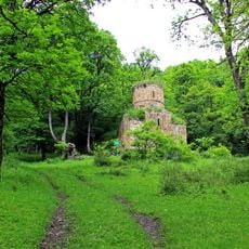
Aghavnavank Monastery
8.4 km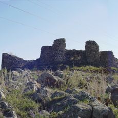
Berdkunk Fortress
22.8 km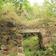
Aghjkaberd
19.9 km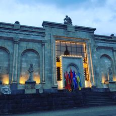
The Geological Museum and Art Gallery of Dilijan
23.3 km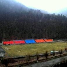
Dilijan City Stadium
24 km
Sevan Botanical Garden
16.2 km
Mimino
23.5 km
Miapor
14.1 km
Jukhtak Monastery
23.7 km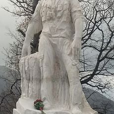
Monte Melkonian monument
20.2 km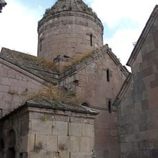
Սուրբ Աստվածածին եկեղեցի (Գոշ)
12.5 km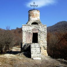
Holy Sunday Chapel
23.3 km
Arjanots
17 km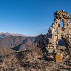
Եկեղեցի «Սպիտակ եղցի»
9.6 km
Berdkunk Fortress
22.8 km
Kenatsblur
3.4 km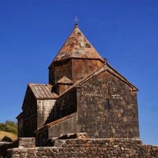
Surp Arakelots
13.1 km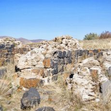
Saint Harutyun church of Sevanavank
13.1 km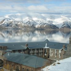
Ճեմարանի շենք
13.2 km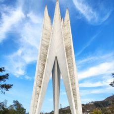
Monument of 50 years of Soviet Armenia
23.4 km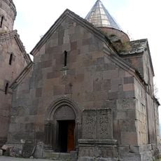
St. Gregory Church
13.4 km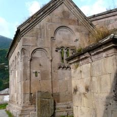
S. Grigor Lusavorich Church
13.4 km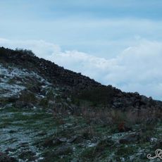
Fort at Lchashen
22 km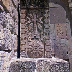
Poghos khatchkar in Goshavank
13.4 km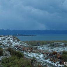
Lchashen site
20.1 kmReviews
Visited this place? Tap the stars to rate it and share your experience / photos with the community! Try now! You can cancel it anytime.
Discover hidden gems everywhere you go!
From secret cafés to breathtaking viewpoints, skip the crowded tourist spots and find places that match your style. Our app makes it easy with voice search, smart filtering, route optimization, and insider tips from travelers worldwide. Download now for the complete mobile experience.

A unique approach to discovering new places❞
— Le Figaro
All the places worth exploring❞
— France Info
A tailor-made excursion in just a few clicks❞
— 20 Minutes