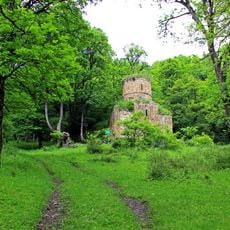
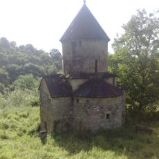
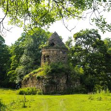
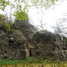
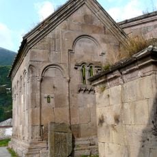
Miapor, Mountain summit in Tavush Province, Armenia
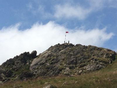
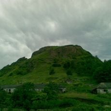
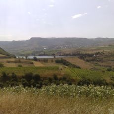
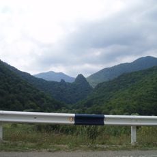
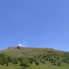
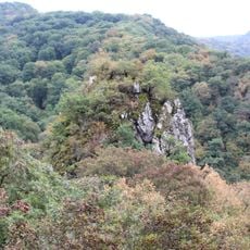
Miapor is a mountain summit in the Lesser Caucasus that reaches approximately 3000 meters in elevation and stands at the border between two provinces. Its slopes show layers of alpine vegetation and sharp ridges that define the local landscape.
The mountain takes its name from ancient Armenian words related to water channels and drainage systems that shaped the region's valleys. This naming reflects how local communities have long understood and described the geology of this area.
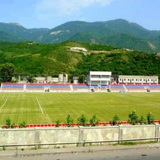
The Miapor mountain serves as a natural boundary between Gegharkunik and Tavush provinces, with local communities maintaining traditional agricultural practices on its lower slopes.
The best time for hiking runs from late spring through early autumn when conditions are most favorable. Visitors should bring plenty of water and warm layers since weather can change quickly at higher elevations.
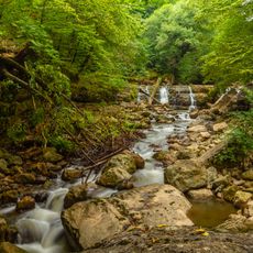
Three major rivers originate from different sides of the mountain, each flowing into distinct watershed systems. These waterways have shaped the ecology and water supply patterns across the surrounding valleys for generations.
GPS coordinates: 40.71780,45.25750
Latest update: December 14, 2025 20:03
Goshavank
22 km
Dilijan National Park
21.1 km
Nor Varagavank
23.5 km
Tavush Fortress
21.4 km
Aghavnavank Monastery
12.7 km
Tsrvizi monastery
22.4 km
Kaptavank
23 km
صومعه شخموراد
21.8 km
Arnar Stadium
21.5 km
Aghjkaberd
20.5 km
Ijevan Dendropark
19.4 km
Tavush reservoir
25.3 km
Berd Dendropark
20.7 km
Иджеванский заказник
25 km
Ijevan Museum of History and Regional Studies
20.3 km
Սուրբ Աստվածածին եկեղեցի (Գոշ)
21.5 km
Mariam Mayri vank in Navur
17.7 km
Holy Sunday Chapel
16.9 km
Norashen Cyclopean Fortress
23.9 km
Եկեղեցի «Սպիտակ եղցի»
19.2 km
Monument to the fallen in World War II in the village of Norashen, Tavush region, Armenia
23.9 km
Ахчкакар
22.9 km
Kenatsblur
12.3 km
Statue of Mother Armenia in Ijevan
22.6 km
St. Gregory Church
22 km
S. Grigor Lusavorich Church
22 km
Poghos khatchkar in Goshavank
22 km
Aghjkaberd fortress near Aygedzor village
23.8 kmVisited this place? Tap the stars to rate it and share your experience / photos with the community! Try now! You can cancel it anytime.
Discover hidden gems everywhere you go!
From secret cafés to breathtaking viewpoints, skip the crowded tourist spots and find places that match your style. Our app makes it easy with voice search, smart filtering, route optimization, and insider tips from travelers worldwide. Download now for the complete mobile experience.
A unique approach to discovering new places❞
— Le Figaro
All the places worth exploring❞
— France Info
A tailor-made excursion in just a few clicks❞
— 20 Minutes