
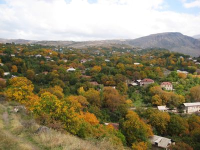
Goght, village in Kotayk Province of Armenia
Location: Kotayk Province
Elevation above the sea: 1,600 m
GPS coordinates: 40.13944,44.77944
Latest update: March 7, 2025 06:54
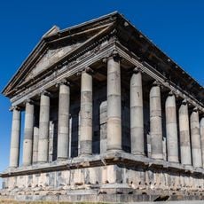
Garni Temple
5.3 km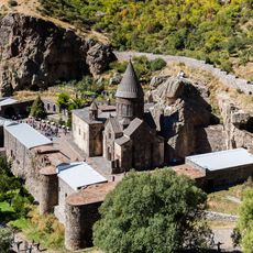
Geghard
3.3 km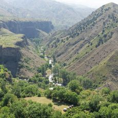
Garni Gorge
5.1 km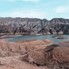
Azat Reservoir
2.6 km
Arch of Charents
12.7 km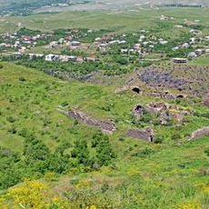
Havuts Tar
2 km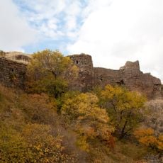
Kakavaberd
5.3 km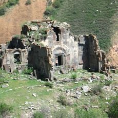
Aghjots Vank
4.3 km
Aramus Tsiranavor church
15.8 km
Dzoraghbyur Training Centre
13 km
Surb Sion church in Garni
5.2 km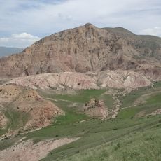
Yeranos 1823m
11.7 km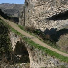
XIe century bridge on Azat river
4 km
Սևաբերդի ջրամբար
15 km
Dimatsler
15.9 km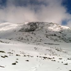
Eritsasar
13.8 km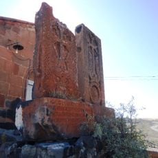
Khachkar
15.8 km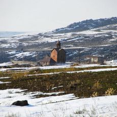
Եկեղեցի Սբ.Կարապետ
13.9 km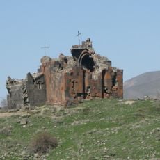
Surb Amenaprkich
2.1 km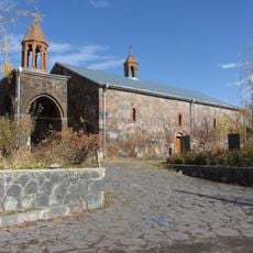
Եկեղեցի Սբ. Աստվածածին
4.5 km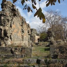
Khumarzham (Khonarvats) Church ruins
4.7 km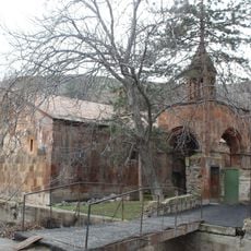
Saint Hovhannes church in Kamaris village
13.3 km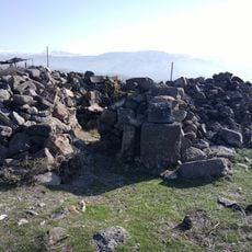
Մատուռ Սբ. Սարգիս
6.3 km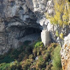
Քարայր-կացարան «Աղջկա բերդ»
5.5 km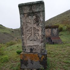
Khachkar of the priest Hakob
2.4 km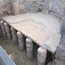
Բաղնիք
5.2 km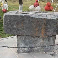
Inscription of Tiridates in Garni
5.2 km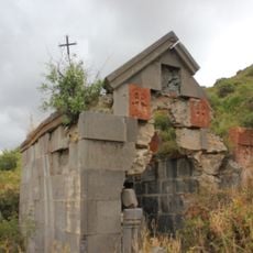
Saint Karapet Chapel
2 kmReviews
Visited this place? Tap the stars to rate it and share your experience / photos with the community! Try now! You can cancel it anytime.
Discover hidden gems everywhere you go!
From secret cafés to breathtaking viewpoints, skip the crowded tourist spots and find places that match your style. Our app makes it easy with voice search, smart filtering, route optimization, and insider tips from travelers worldwide. Download now for the complete mobile experience.

A unique approach to discovering new places❞
— Le Figaro
All the places worth exploring❞
— France Info
A tailor-made excursion in just a few clicks❞
— 20 Minutes