Chest opened
+${chestReward.xp} XP
Explorer
NOUVEAU ×${chestReward.collectible.quantity}
tapez pour fermer

See the monuments around you in AR Open chests in the app

Around Us is built for your phone — point your camera at the streets and discover the monuments and places around you in augmented reality. Around Us is built for your phone — chests unlock when you walk, explore and capture nearby places.

•

Enable Location

We need your location to show you interesting places around you

Discover nearby places

Find interesting locations and hidden gems around you

Precise directions

Get accurate directions and distances to places

Your location is never shared with other users. It's only used when you tap the location button.

Yervandashat

Log in to your account

Start exploring — it's free

Trusted by 94,346 travelers worldwide

Continue with Google
Continue with Apple
or

We will send you a code to connect

By continuing, you accept our Terms and Conditions and our Privacy Policy

Check your inbox

We've sent a pincode in your inbox. Please enter the code below.

Yervandashat, Archaeological site in Iğdır Province, Turkey.

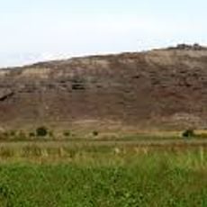
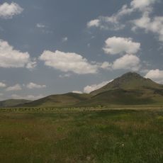
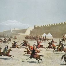
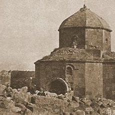
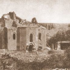
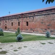
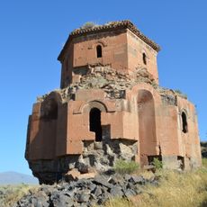
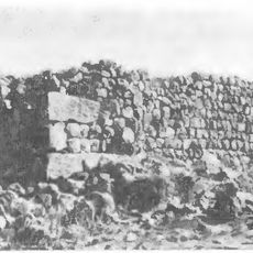
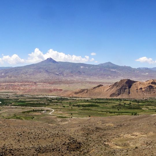
Yervandashat is an archaeological site in Iğdır Province, on a rocky hill about 100 m high at the confluence of the Akhuryan and Aras rivers. Sources describe a citadel with high walls and copper gates, and hidden traps between the steps of an iron stair. The photograph shows a cultivated valley and arid slopes below a pointed mountain; no ruins are visible.

The settlement served as one of Armenia's major capitals from 210 to 176 BC under the Orontid dynasty. The site continued to be inhabited and modified after this period, reflecting influences from successive rulers and populations.

The site preserves traces of communities that lived here across different periods, building homes, streets, and defensive structures that shaped the landscape. These remains show how people adapted their lives to this river valley location over time.

The site can be reached through Iğdır Province and attracts visitors interested in ancient architecture and construction methods. The surrounding landscape with rivers and the plateau provides natural landmarks that help orient visitors at the location.

Movses Khorenatsi records that Orontes IV cut passages through the rock from the citadel down to river level so that water could be drawn during a siege. Toros Toramanian noted that the many dwellings inside the walls suggest the king settled a large body of loyal supporters there for his own safety.

The community of curious travelers

AroundUs brings together thousands of curated places, local tips, and hidden gems, enriched daily by 94,346 contributors worldwide.
Start exploring
Location
GPS coordinates
40.11490,43.65017
Latest update
October 24, 2026 20:36
Reviews
Share your experience

No review yet

Discussions
Start a discussion...

No discussion yet

« Yervandashat - Archaeological site in Iğdır Province, Turkey » is provided by Around Us (aroundus.com). Images and texts are derived from Wikimedia project under a Creative Commons license. You are allowed to copy, distribute, and modify copies of this page, under the conditions set by the license, as long as this note is clearly visible.

Discover hidden gems everywhere you go!

From secret cafés to breathtaking viewpoints, skip the crowded tourist spots and find places that match your style. Our app makes it easy with voice search, smart filtering, route optimization, and insider tips from travelers worldwide. Download now for the complete mobile experience.

Around Us App Screenshot
❝

A unique approach to discovering new places❞

— Le Figaro

❝

All the places worth exploring❞

— France Info

❝

A tailor-made excursion in just a few clicks❞

— 20 Minutes

Around Us
Travel Guide & Maps
Download

Send to your phone

QR Code
1

Open the camera app on your mobile.

2

Point at the QR code with your camera. A notification will appear.

3

Tap the notification to open the link.