Enable Location

We need your location to show you interesting places around you

Discover nearby places

Find interesting locations and hidden gems around you

Precise directions

Get accurate directions and distances to places

Your location is never shared with other users. It's only used when you tap the location button.

Satupa'itea

Log in to your account

Start exploring — it's free

Trusted by 62,378 travelers worldwide

Continue with Google
Continue with Apple
or

We will send you a code to connect

By continuing, you accept our Terms and Conditions and our Privacy Policy

Check your inbox

We've sent a pincode in your inbox. Please enter the code below.

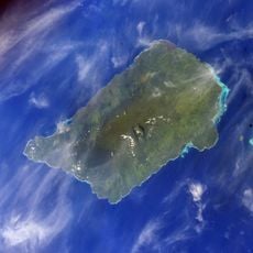
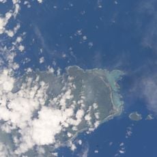
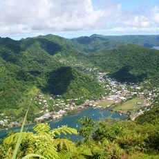
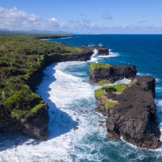
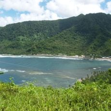
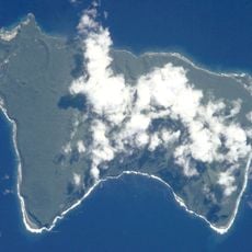
Satupa'itea, Administrative district in Savai'i Island, Samoa.

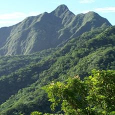
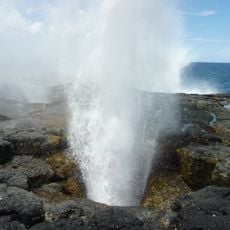
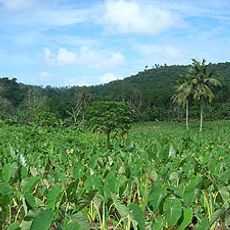
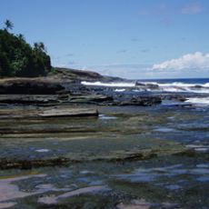
Satupa'itea is an administrative district along the southeast coast of Savai'i Island, comprising four sub-villages: Moasula, Pitonuʻu, Satufia, and Vaega. The area spans across terrain at roughly 600 meters (2,000 feet) elevation.

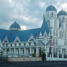
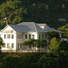
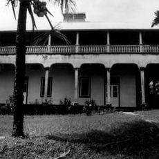
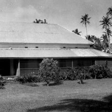
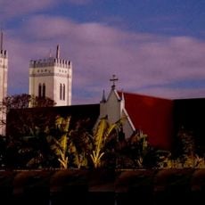
The area was shaped in the 19th century when English missionary George Brown arrived in 1860 to establish the first Methodist mission station. This marked the beginning of Methodist presence in Samoa and changed the religious direction of the region.

The district maintains the paramount chiefly title of Tonumaipeʻa, which plays an important role in the governance of the Alataua sub-region. This traditional authority continues to shape social life and decision-making today.

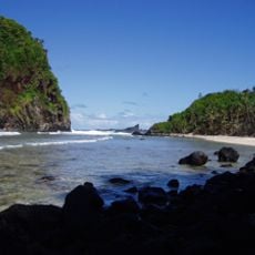
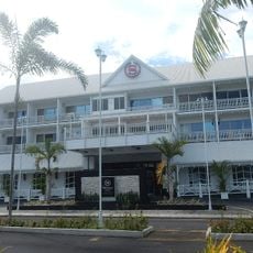
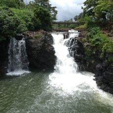
As one of eleven political districts in Samoa, the area is best reached from the main towns or larger settlements on the island. Visitors should know that this is a rural region where basic services may be limited.

The area was the birthplace of Methodist theological training in Samoa in 1863, before this educational mission later moved to Upolu Island. This early academic role helped establish a religious and intellectual foundation that would spread across the entire nation.

The community of curious travelers

AroundUs brings together thousands of curated places, local tips, and hidden gems, enriched daily by 60,000 contributors worldwide.

Start exploring
Location
Elevation above the sea
596 m
Shares border with
Vaisigano, Gaga'ifomauga, Palauli, Gaga'emauga
GPS coordinates
-13.63333,-172.63333
Latest update
December 14, 2025 13:00
« Satupa'itea - Administrative district in Savai'i Island, Samoa » is provided by Around Us (aroundus.com). Images and texts are derived from Wikimedia project under a Creative Commons license. You are allowed to copy, distribute, and modify copies of this page, under the conditions set by the license, as long as this note is clearly visible.

Discover hidden gems everywhere you go!

From secret cafés to breathtaking viewpoints, skip the crowded tourist spots and find places that match your style. Our app makes it easy with voice search, smart filtering, route optimization, and insider tips from travelers worldwide. Download now for the complete mobile experience.

Around Us App Screenshot

A unique approach to discovering new places

Le Figaro

All the places worth exploring

France Info

A tailor-made excursion in just a few clicks

20 Minutes

Around Us
Travel Guide & Maps
Download

Send to your phone

QR Code
1

Open the camera app on your mobile.

2

Point at the QR code with your camera. A notification will appear.

3

Tap the notification to open the link.