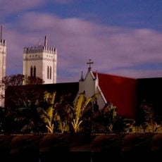
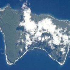
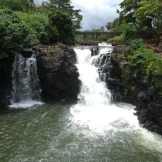
O Le Pupu-Puʿe National Park, National park on Upolu Island, Samoa.
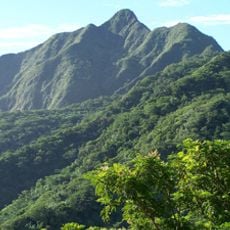
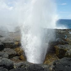
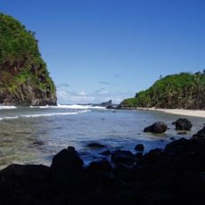
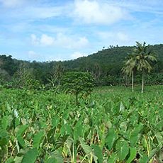
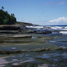
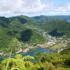
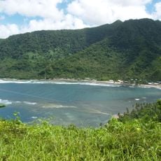
O Le Pupu-Puʿe National Park stretches from Mount Fito, Upolu's highest peak at 1,100 m, down to the Le Pupu lava cliffs on the south coast. Its 5,019 hectares take in upland forest, valleys, marshes, the O Le Pupu lava field and littoral vegetation. A roughly four-hour trek leads to the Peapea lava-tube cave, and the Togitogiga waterfalls lie within the park.
O Le Pupu-Puʿe National Park was established in 1978 under the National Parks and Reserves Act 1974, initially covering 2,800 hectares. It was expanded to 4,234 hectares and in 2008 grew to 5,019 hectares with the addition of an adjoining forestry project and the Togitogiga Recreational Reserve. Management passed from the Forestry Division to the Lands, Surveys and Environment Department in 1989, and to the Ministry of Natural Resources and Environment in 2005.
The name is glossed in the sources as "The Cliffs-Mountain": Le Pupu refers to the coastal cliffs of lava rock, and Puʿe to Mount Puʿe (about 800 m) on Upolu's central ridge. The park runs from Mount Fito, Upolu's highest peak at 1,100 m, down to those Le Pupu cliffs.
Access is easiest via the South Coast Road using local buses or taxis, though guided tours are highly recommended for safety and context. Start your visit early in the day since exploring the caves and reaching viewpoints can take several hours.
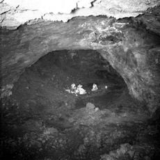
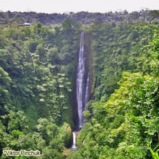
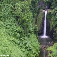
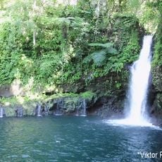
The Peapea lava tube cave lies about a four-hour trek from the park's trailheads, according to the Italian-language source. The park also holds the Togitogiga Recreational Reserve and its waterfalls, added in 2008. Pacific boa remains were found in the park in 2018, though the snake itself has not been confirmed there.
The community of curious travelers
AroundUs brings together thousands of curated places, local tips, and hidden gems, enriched daily by 92,961 contributors worldwide.