Kermadec Islands, Volcanic island group in South Pacific Ocean, New Zealand
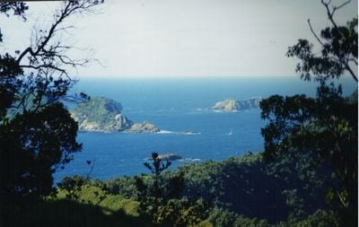
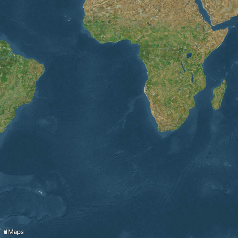
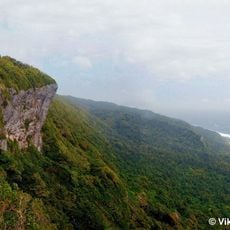
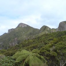
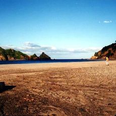
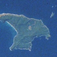
The Kermadec Islands are an uninhabited volcanic island group in the South Pacific Ocean belonging to New Zealand, lying roughly 800 to 1,000 kilometers (500 to 620 miles) northeast of the North Island. The largest island is Raoul, covering around 29 square kilometers (11 square miles), followed by smaller landmasses including Macauley, Curtis, and the L'Espérance Rocks.
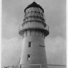
The British government took possession of the islands in 1886, shortly after European whalers and explorers charted the archipelago during the early 19th century. New Zealand formally integrated the islands into its territory the following year and later established a permanent weather station on Raoul.
The name Rangitāhua comes from the Māori language and connects these remote islands to the broader story of Polynesian navigation across the South Pacific. Raoul Island received its modern name after a French commander who sailed these waters in the early 19th century.
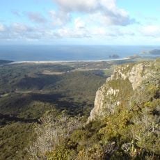
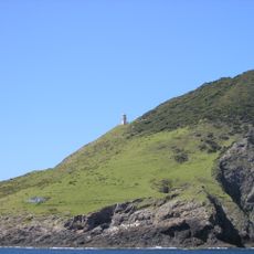
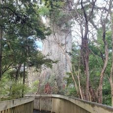
The weather station on Raoul sits roughly 50 meters (165 feet) above sea level and houses a small number of conservation workers who stay for several months at a time. Access to the island group is heavily restricted and requires special permission from New Zealand conservation authorities.
The location of these islands marks a zone where the Pacific Plate slides beneath the Indo-Australian Plate. This geological activity generates regular earthquakes and keeps the volcanic cones above sea level.
The community of curious travelers
AroundUs brings together thousands of curated places, local tips, and hidden gems, enriched daily by 60,000 contributors worldwide.