Enable Location

We need your location to show you interesting places around you

Discover nearby places

Find interesting locations and hidden gems around you

Precise directions

Get accurate directions and distances to places

Your location is never shared with other users. It's only used when you tap the location button.

A'ana

Log in to your account

Start exploring — it's free

Trusted by 62,378 travelers worldwide

Continue with Google
Continue with Apple
or

We will send you a code to connect

By continuing, you accept our Terms and Conditions and our Privacy Policy

Check your inbox

We've sent a pincode in your inbox. Please enter the code below.

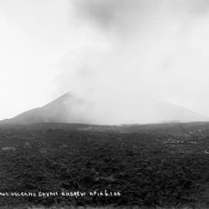
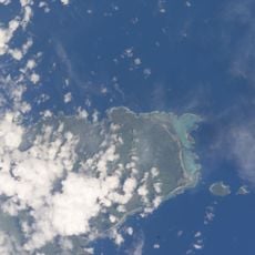
A'ana, Administrative district on western Upolu, Samoa

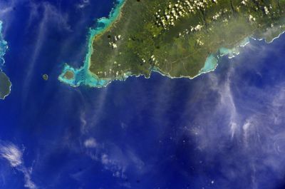
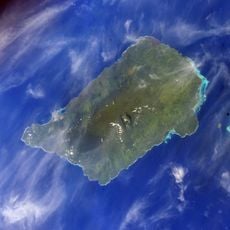
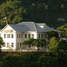
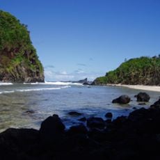
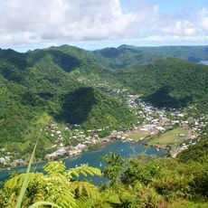
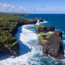
A'ana is a district covering the western part of Upolu island, with Leulumoega serving as its administrative center. The region includes several villages and coastal areas spread across this portion of the island.

This district was part of German colonial territories in Samoa before passing to New Zealand administration during World War I. New Zealand retained control until Samoa gained independence in 1962.

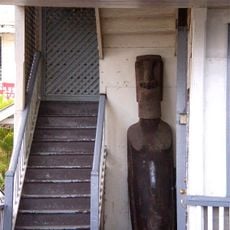
The way leadership works in this district centers on a paramount title managed by an orator group, a system that still shapes how villages make decisions today.

The main international airport serving Samoa is located in this district, making it the primary entry point for travelers arriving by air. Most visitors pass through this area when beginning their stay in the country.

One village in this district is completely surrounded by territory belonging to a neighboring district, creating an unusual geographic situation. This enclave arrangement is a distinctive feature of how the regional boundaries are drawn.

The community of curious travelers

AroundUs brings together thousands of curated places, local tips, and hidden gems, enriched daily by 60,000 contributors worldwide.

Start exploring
Location
Capital city
Leulumoega
Elevation above the sea
415 m
Shares border with
Aiga-i-le-Tai, Tuamasaga, Gaga'emauga
GPS coordinates
-13.89093,-171.98738
Latest update
December 12, 2025 17:43
« A'ana - Administrative district on western Upolu, Samoa » is provided by Around Us (aroundus.com). Images and texts are derived from Wikimedia project under a Creative Commons license. You are allowed to copy, distribute, and modify copies of this page, under the conditions set by the license, as long as this note is clearly visible.

Discover hidden gems everywhere you go!

From secret cafés to breathtaking viewpoints, skip the crowded tourist spots and find places that match your style. Our app makes it easy with voice search, smart filtering, route optimization, and insider tips from travelers worldwide. Download now for the complete mobile experience.

Around Us App Screenshot

A unique approach to discovering new places

Le Figaro

All the places worth exploring

France Info

A tailor-made excursion in just a few clicks

20 Minutes

Around Us
Travel Guide & Maps
Download

Send to your phone

QR Code
1

Open the camera app on your mobile.

2

Point at the QR code with your camera. A notification will appear.

3

Tap the notification to open the link.