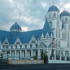
Geography of Samoa, geography of the Independent State of Samoa (and not American Samoa)
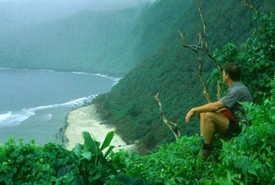
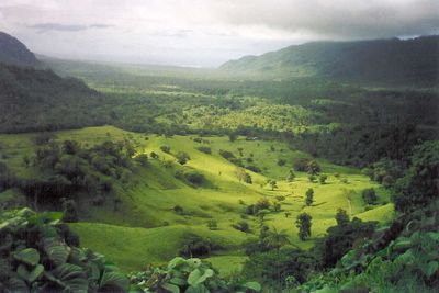
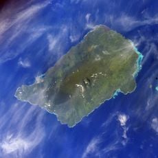
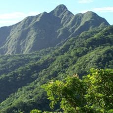
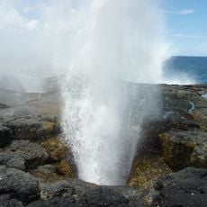
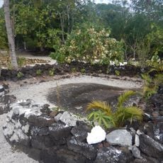
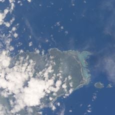
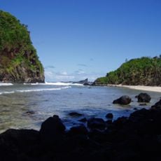
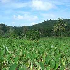
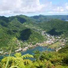
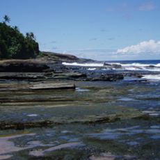
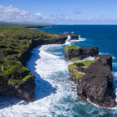
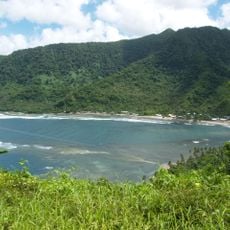
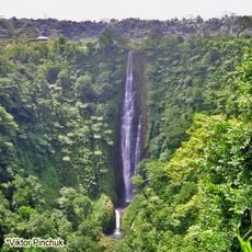
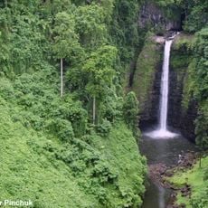
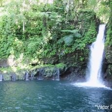
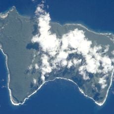
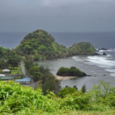
The geography of Samoa consists of two main islands and several smaller ones spread across the southwestern Pacific Ocean. The landscape features volcanic terrain with dense rainforests, sandy coasts, and coral reefs surrounding much of the shoreline.
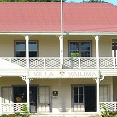
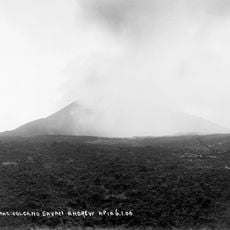
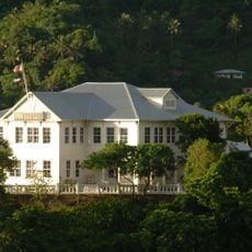
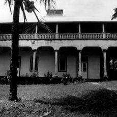
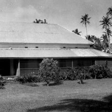
Samoa's islands were formed by volcanic activity over millions of years and settled by Polynesian navigators in ancient times. Colonial powers later influenced settlement patterns and land use, shaping the geography we see today.
The islands experience a tropical climate with warm weather throughout the year and distinct wet and dry seasons. Travel and exploration are easier during the drier months when conditions allow for more comfortable movement across the terrain.
The community of curious travelers
AroundUs brings together thousands of curated places, local tips, and hidden gems, enriched daily by 60,000 contributors worldwide.